Te Rapa, Hamilton
Map
Map

Facts and practical information
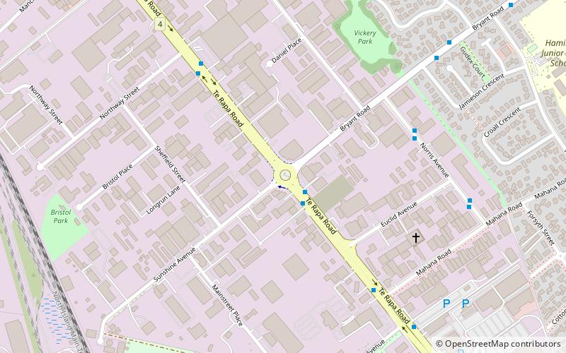
Te Rapa is a mixed light industrial, large-scale retail and semi-rural suburb to the northwest of central Hamilton, New Zealand that is built on a flat area that was previously the bed of an ancient river, the forerunner to the present Waikato River. ()
Coordinates: 37°45'28"S, 175°14'46"E
Address
Hamilton
ContactAdd
Social media
Add
Day trips
Te Rapa – popular in the area (distance from the attraction)
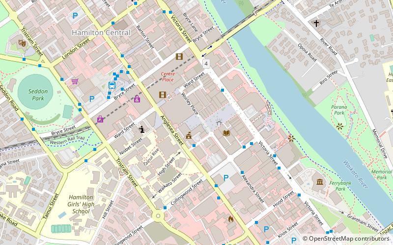
Nearby attractions include: Waikato Stadium, Chartwell Shopping Centre, Centre Place, Seddon Park.
Frequently Asked Questions (FAQ)
How to get to Te Rapa by public transport?
The nearest stations to Te Rapa:
Train
Bus
Train
- Rotokauri (27 min walk)
Bus
- Rotokauri Transport Hub (27 min walk)
