Māngere Lagoon, Auckland

Gallery (1)
Map
Map
Facts and practical information
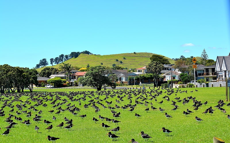
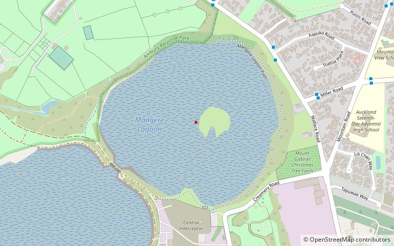
Māngere Lagoon is a lagoon in the Manukau Harbour, New Zealand. It occupies a volcanic crater or maar which is part of the Auckland volcanic field. Oval and about 600m long, it has a small restored scoria island remaining in the centre. ()
Coordinates: 36°57'24"S, 174°46'41"E
Address
South Auckland (Ambury Park)Auckland
ContactAdd
Social media
Add
Day trips