Waitākere Reservoir, Auckland
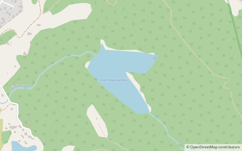
Map
Gallery
Facts and practical information
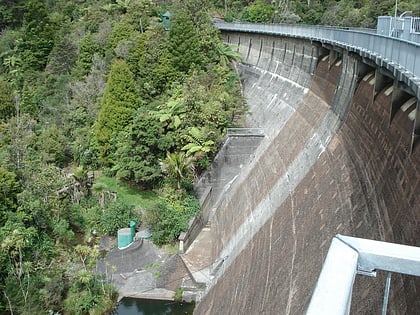
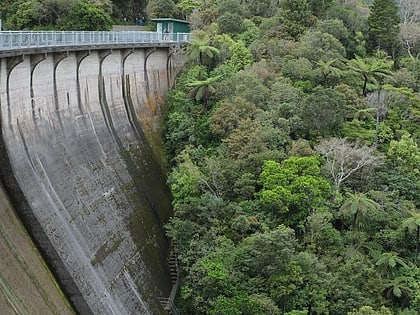
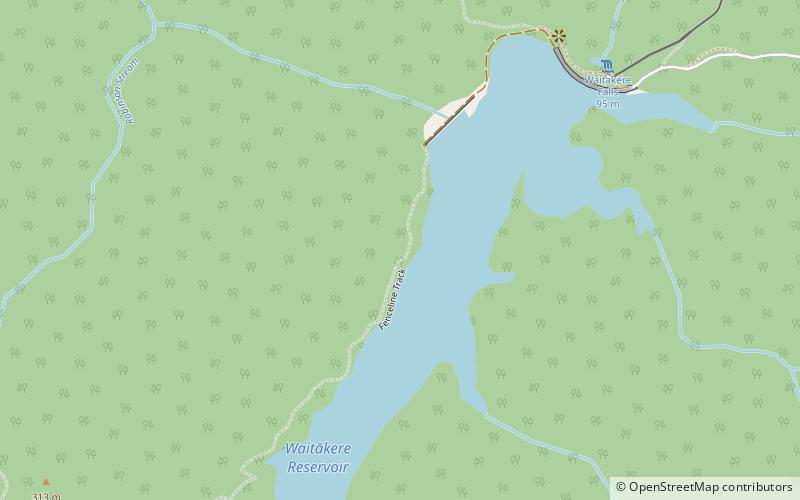
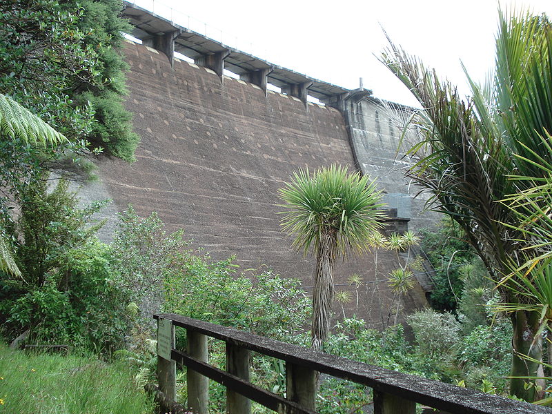
Waitākere Reservoir is a reservoir on the Waitakere River in the Waitākere Ranges, west of Auckland in New Zealand. Waitākere Dam was completed in 1910 and is a concrete gravity dam with a slight curvature. It has a lake area of 25.1 hectares and a capacity of 1.76 million cubic metres. The dam is accessible from the Montana Heritage Trail, a bush hike in the region. ()
Elevation: 781 ft a.s.l.Coordinates: 36°54'8"S, 174°31'30"E
Address
Auckland
ContactAdd
Social media
Add
Day trips
Waitākere Reservoir – popular in the area (distance from the attraction)
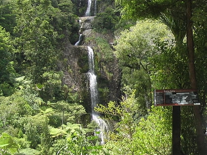
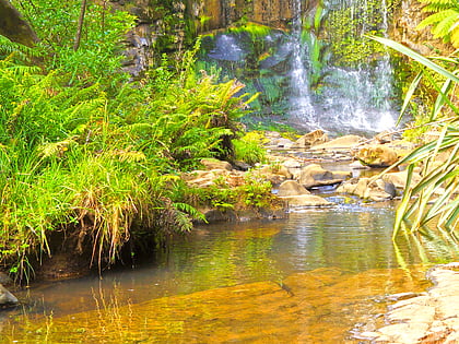
Nearby attractions include: Kitekite Falls, Mokoroa Falls, Upper Nihotupu Reservoir, Auckland/West Auckland.
