Upper Nihotupu Reservoir
Map

Map

Facts and practical information
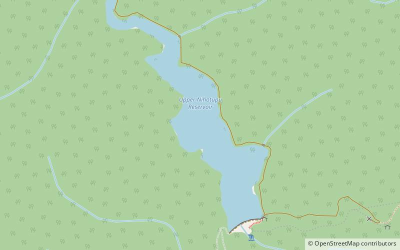
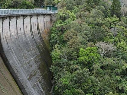
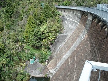
The Upper Nihotupu Reservoir is one of five reservoirs in the Waitākere Ranges that supply water to Auckland, New Zealand. Completed in 1923, the concrete gravity dam and its reservoir are managed by Watercare Services, a council-owned company. ()
Elevation: 732 ft a.s.l.Coordinates: 36°56'53"S, 174°33'43"E
Location
Auckland
ContactAdd
Social media
Add
Day trips
Upper Nihotupu Reservoir – popular in the area (distance from the attraction)
Nearby attractions include: Kitekite Falls, WestCity Waitakere, Extreme Edge Rock Climbing Glen Eden, Lopdell House.


