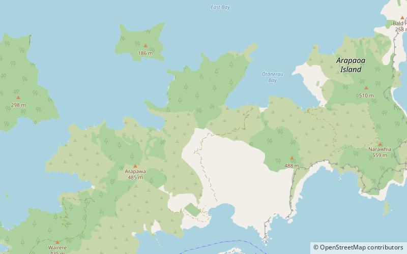
Arapaoa Island
Map

Map

Facts and practical information
Arapaoa Island, formerly known as Arapawa Island, is an island located in the Marlborough Sounds, at the north east tip of the South Island of New Zealand. The island has a land area of 75 km2. Queen Charlotte Sound / Tōtaranui defines its western side, while to the south lies Tory Channel / Kura Te Au, which is on the sea route from Wellington in the North Island to Picton. Cook Strait's narrowest point is between Arapaoa Island's Perano Head and Cape Terawhiti in the North Island. ()
Location
Marlborough
ContactAdd
Social media
Add
