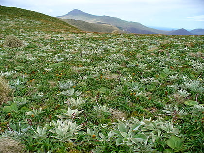
Jacquemart Island
Map

Map

Facts and practical information
Jacquemart Island, one of the islets surrounding Campbell Island in New Zealand, lies 1 km south of Campbell Island and is the southernmost island of New Zealand. ()
Alternative names: Area: 46.95 acres (0.0734 mi²)Maximum elevation: 751 ftArchipelago: Campbell Island groupCoordinates: 52°37'10"S, 169°7'34"E
Location
Southern Islands
ContactAdd
Social media
Add
Day trips
Jacquemart Island – popular in the area (distance from the attraction)
Nearby attractions include: Mount Honey.

