Rātana Pā
Map

Map

Facts and practical information
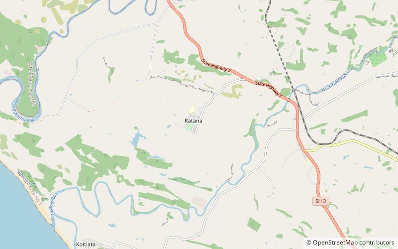
Rātana Pā, or Ratana Community, is a town in the North Island of New Zealand, near Whanganui and Marton in the Manawatū-Whanganui region. The locality was the farm of Tahupōtiki Wiremu Rātana, the founder of a Maori religious and political movement, and the settlement developed in the 1920s as followers came to see Rātana. It continues as the centre of the Rātana Church. Due to the importance of the Rātana movement in New Zealand politics, leading New Zealand politicians often attend annual gatherings at Rātana Pā. ()
Coordinates: 40°2'24"S, 175°10'41"E
Location
Manawatu-Wanganui
ContactAdd
Social media
Add
Day trips
Rātana Pā – popular in the area (distance from the attraction)
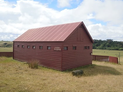
Nearby attractions include: Cameron Blockhouse.

