Awakino ski area

Gallery (1)
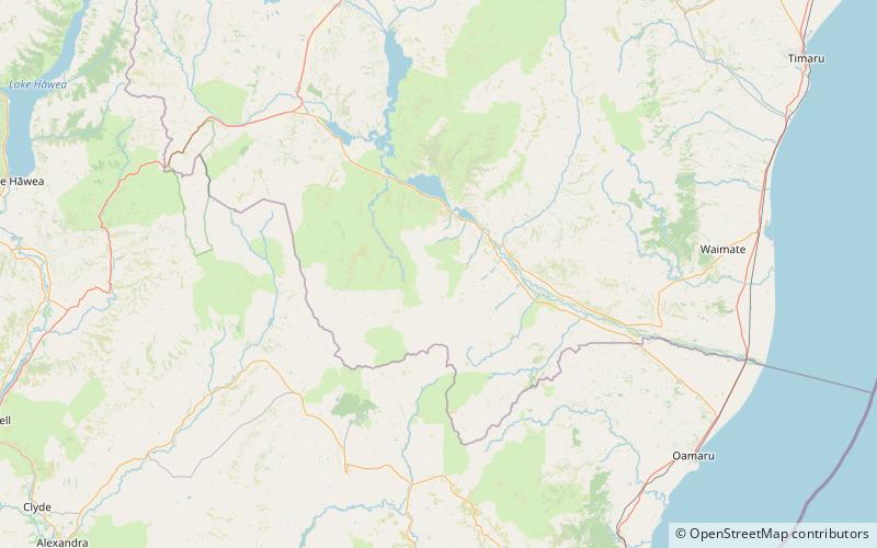
Map
Map
Facts and practical information
The Awakino ski field is located in St. Marys Range, in the Canterbury, New Zealand part of Waitaki District near Kurow. It is run by the Waitaki Ski Club. The field is little changed from when it was established in the late 1940s. Run by volunteers only, it operates most weekends in the winter season, which normally lasts from July to October. The field has one and a half high-speed rope tows, queues are unheard of and a busy day means more than 10 people. ()
Base elevation: 4800 ftCoordinates: 44°46'42"S, 170°19'48"E
Location
Canterbury
ContactAdd
Social media
Add