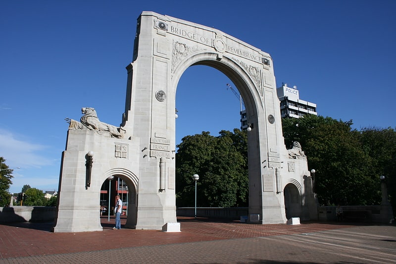
Canterbury Province, Christchurch

Gallery (1)
Map
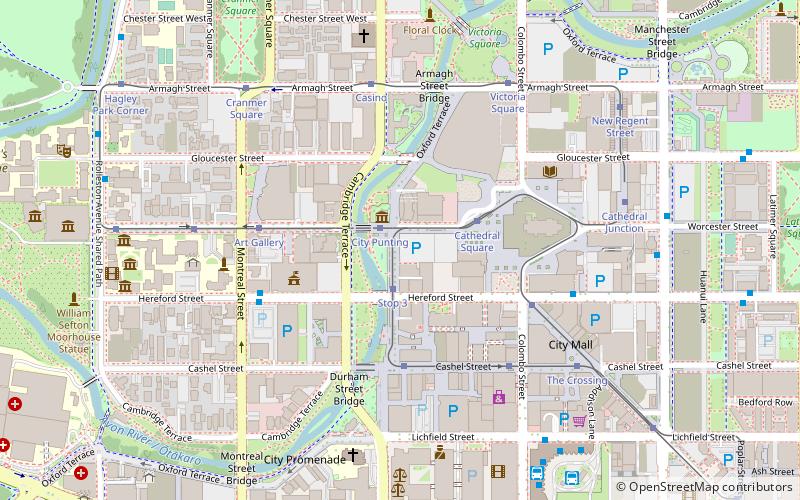
Map
Facts and practical information
The Canterbury Province was a province of New Zealand from 1853 until the abolition of provincial government in 1876. Its capital was Christchurch. ()
Address
Central CityChristchurch
ContactAdd
Social media
Add
Getting there by public transportation
Public transportation stops near this location
- Bus
- Tram
 Bus
Bus
- Calculate routeCity Punting 1 min walk
- Calculate routeStop 3 2 min walk
- Calculate routeStop 2 min walk
- Calculate routeCathedral Square 3 min walk
- Calculate routeHereford St near Montreal St 5 min walk
- Calculate routeBus Interchange 8 min walk
- Calculate routeRolleston Ave near Gloucester St 9 min walk
Day trips
Canterbury Province – popular in the area (distance from the attraction)
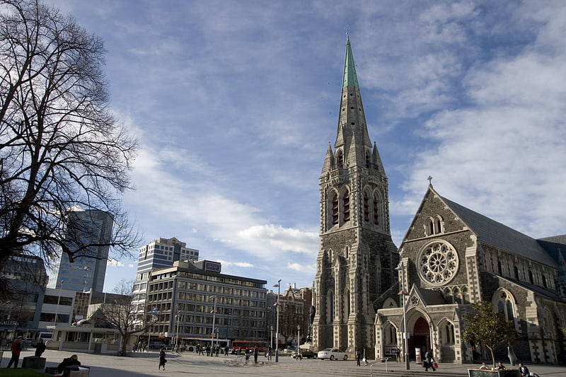
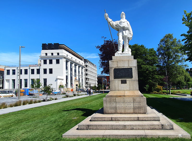
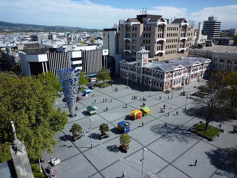
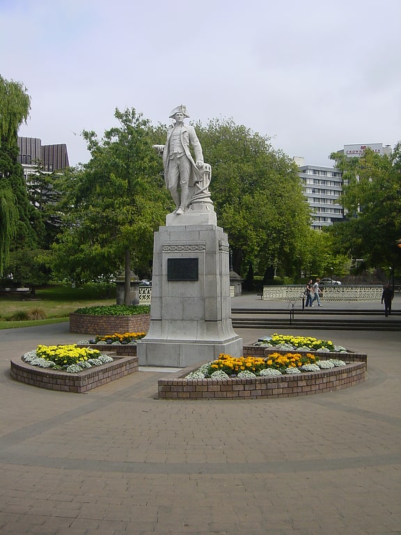
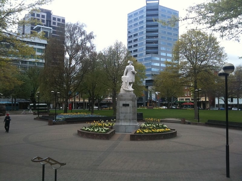
Nearby attractions include: Re:START, ChristChurch Cathedral, Statue of Robert Falcon Scott, Cathedral Square.


Frequently Asked Questions (FAQ)
Which popular attractions are close to Canterbury Province?
Nearby attractions include Scott Statue, Christchurch (1 min walk), Statue of Robert Falcon Scott, Christchurch (1 min walk), Our City, Christchurch (1 min walk), Worcester Chambers, Christchurch (2 min walk).
How to get to Canterbury Province by public transport?
The nearest stations to Canterbury Province:
Tram
Bus
Tram
- City Punting (1 min walk)
- Stop 3 (2 min walk)
Bus
- Hereford St near Montreal St • Lines: 17 (5 min walk)
- Bus Interchange • Lines: 17 (8 min walk)