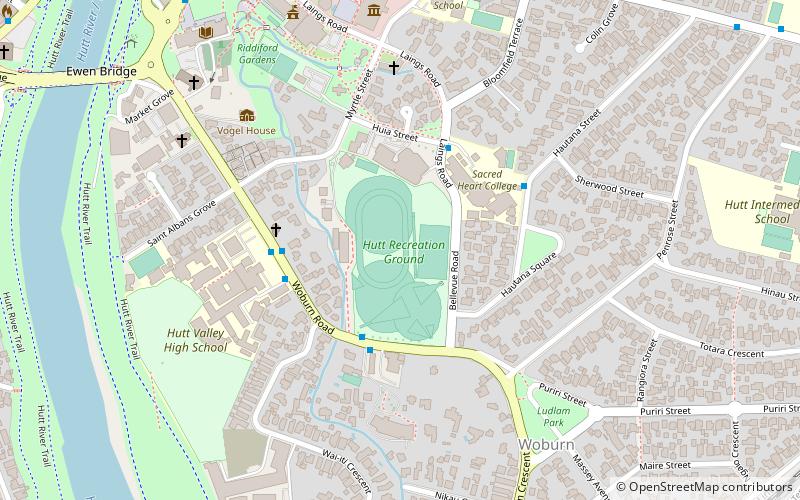
Hutt Recreation Ground, Lower Hutt
Map
Facts and practical information
Hutt Recreation Ground is a football, cricket and rugby union ground in Lower Hutt, Wellington, New Zealand. The first recorded cricket match held on the ground came in 1949 when Hutt Valley played Nelson in the 1948/49 Hawke Cup. ()
Coordinates: 41°12'57"S, 174°54'18"E
Address
Central Ward (Hutt Central)Lower Hutt
ContactAdd
Social media
Add
Getting there by public transportation
Public transportation stops near this location
- Bus
- Train
 Bus
Bus
- Calculate routeLudlam Crescent at Wai-iti Crescent 10 min walk
- Calculate routeQueens Drive at Riddiford Gardens 10 min walk
- Calculate routeLower Hutt – Centre City Plaza 10 min walk
- Calculate routeWoburn 13 min walk
- Calculate routeAva 19 min walk
- Calculate routeWestern Hutt 21 min walk
- Calculate routeMelling 22 min walk
Day trips


Frequently Asked Questions (FAQ)
Which popular attractions are close to Hutt Recreation Ground?
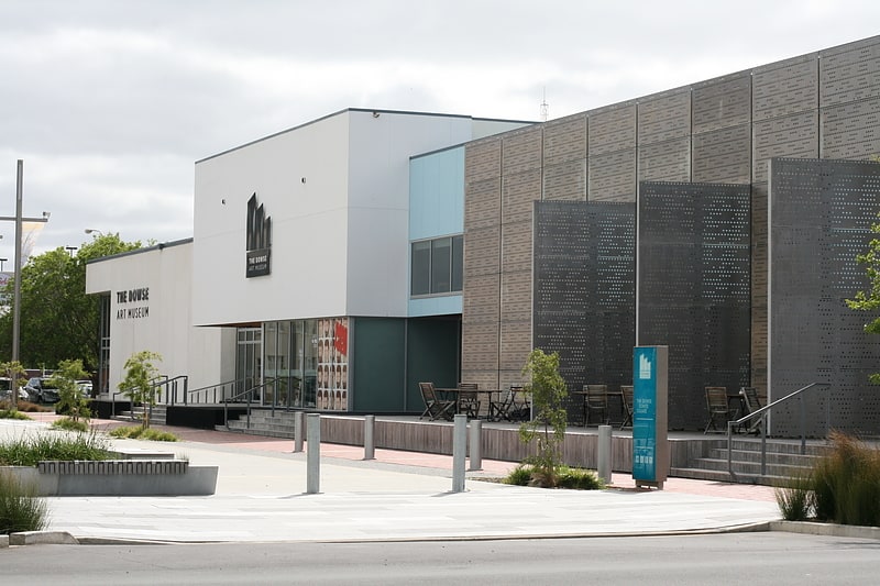
Nearby attractions include The Dowse Art Museum, Lower Hutt (7 min walk), Lower Hutt War Memorial Library, Lower Hutt (9 min walk), Hutt Central, Lower Hutt (14 min walk), Riverbank Market Lower Hutt, Lower Hutt (16 min walk).
How to get to Hutt Recreation Ground by public transport?
The nearest stations to Hutt Recreation Ground:
Bus
Train
Bus
- Ludlam Crescent at Wai-iti Crescent • Lines: 130, 83 (10 min walk)
- Queens Drive at Riddiford Gardens • Lines: 110 (10 min walk)
Train
- Woburn (13 min walk)
- Ava (19 min walk)