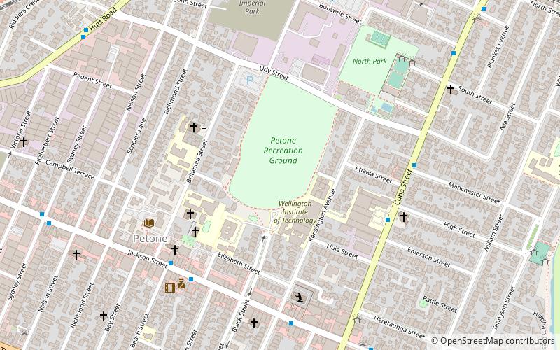
Petone Recreation Ground, Lower Hutt
Map
Facts and practical information
Petone Recreation Ground is a cricket ground in Lower Hutt, Wellington, New Zealand. The first recorded match held on the ground came in 1951 when Hutt Valley played Wanganui in the 1950/51 Hawke Cup. ()
Coordinates: 41°13'25"S, 174°52'59"E
Address
Harbour Ward (Petone)Lower Hutt
ContactAdd
Social media
Add
Getting there by public transportation
Public transportation stops near this location
- Bus
- Train
 Bus
Bus
- Calculate routeCuba Street at Weltec 5 min walk
- Calculate routeJackson Street at Beach Street 6 min walk
- Calculate routeAva 14 min walk
- Calculate routePetone 18 min walk
- Calculate routeWestern Hutt 23 min walk
Day trips


Frequently Asked Questions (FAQ)
How to get to Petone Recreation Ground by public transport?
The nearest stations to Petone Recreation Ground:
Bus
Train
Bus
- Cuba Street at Weltec • Lines: 110 (5 min walk)
- Jackson Street at Beach Street • Lines: 110, 130, 83, 91 (6 min walk)
Train
- Ava (14 min walk)
- Petone (18 min walk)