Kopu Bridge
Map

Map

Facts and practical information
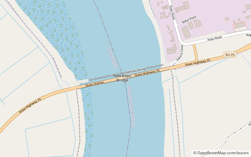
The Historic Kopu Bridge is a single-lane swing bridge that spans the Waihou River, near its emergence into the Firth of Thames in the Thames-Coromandel District of New Zealand's North Island. The bridge was completed in 1928 and was part of State Highway 25. The swinging span in the middle of the bridge is 43 metres long and with an overall length of 463 metres, the bridge was the longest and oldest single lane bridge within the state highway network. It is also New Zealand's only remaining operational swing bridge. ()
Alternative names: Completed: 1928 (98 years ago)Length: 1519 ftCoordinates: 37°11'27"S, 175°33'47"E
Location
Kopu RdKopu Waikato
ContactAdd
Social media
Add
Day trips
Kopu Bridge – popular in the area (distance from the attraction)
Nearby attractions include: Kauaeranga Valley, Thames School of Mines.


