National Park Village
Map

Map

Facts and practical information
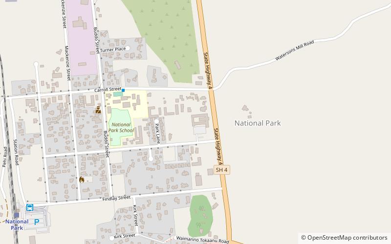
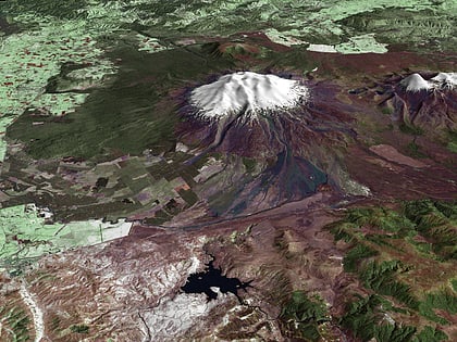
National Park is a small town on the North Island Central Plateau in New Zealand. Also known as National Park Village, it is the highest urban township in New Zealand, at 825 metres. Its name derives from its location just outside the boundary of Tongariro National Park, New Zealand's first national park, and its only national park from its creation in 1887 until 1900. The village has great views of Mount Tongariro, Mount Ngauruhoe, and Mount Ruapehu. ()
Coordinates: 39°10'22"S, 175°24'4"E
Location
Manawatu-Wanganui
ContactAdd
Social media
Add
Best Ways to Experience the City
Food & drink
CuisineA guide to some of the best local dishes and drinks that you will meet in the region.
Day trips
National Park Village – popular in the area (distance from the attraction)
Nearby attractions include: Hauhungatahi, North Island Volcanic Plateau.


