Pauatahanui Inlet, Porirua
Map

Map

Facts and practical information
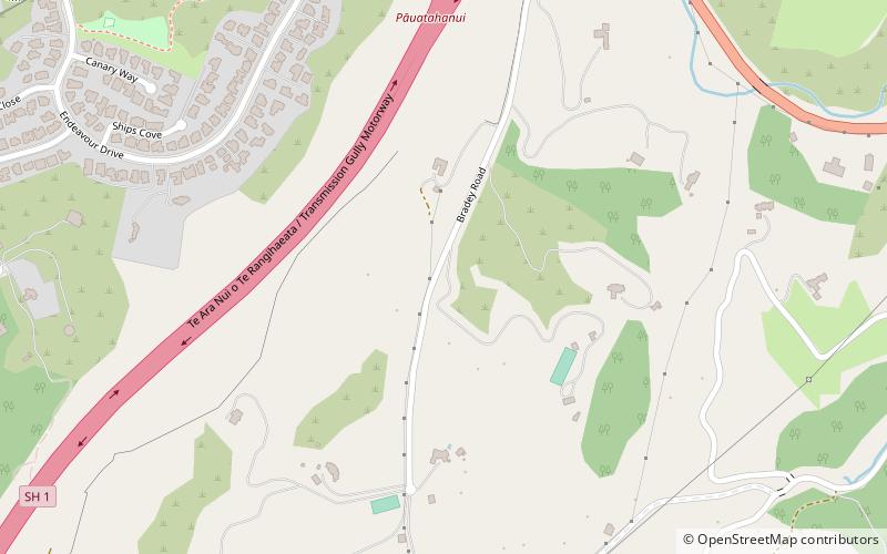
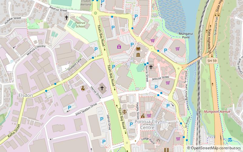
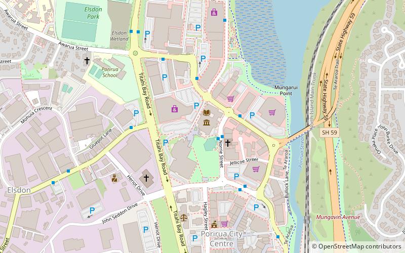
Te Awarua-o-Porirua Harbour, commonly known as Porirua Harbour, is a natural inlet in the south-western coast of the North Island of New Zealand. ()
Coordinates: 41°7'10"S, 174°54'58"E
Address
Porirua
ContactAdd
Social media
Add
Day trips
Pauatahanui Inlet – popular in the area (distance from the attraction)
Nearby attractions include: Te Rauparaha Arena, Pataka Art + Museum, Royal New Zealand Police College, Aotea Lagoon.
Frequently Asked Questions (FAQ)
How to get to Pauatahanui Inlet by public transport?
The nearest stations to Pauatahanui Inlet:
Bus
Bus
- Joseph Banks Drive • Lines: 236 (24 min walk)
- Ayton Drive • Lines: 230 (34 min walk)


