Ports of Auckland, Auckland
Map
Gallery
Facts and practical information
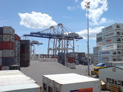
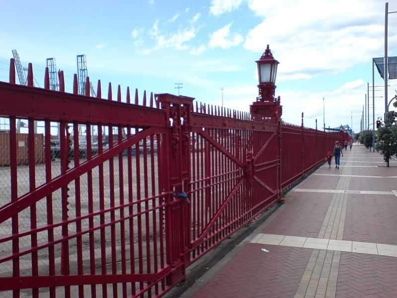
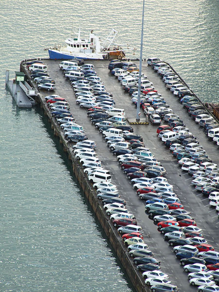
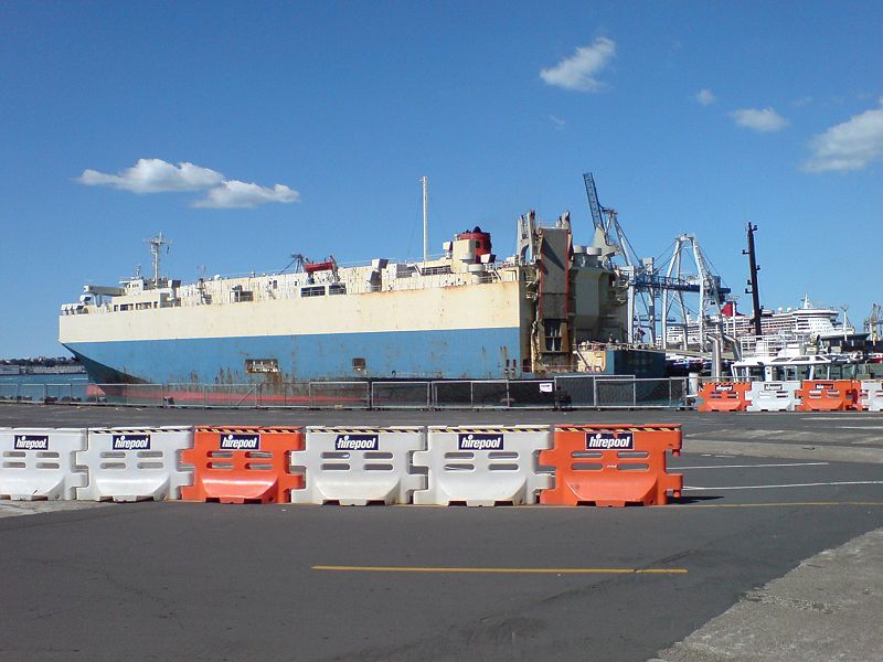
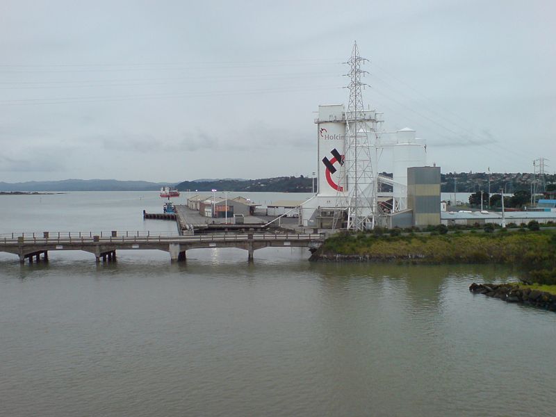
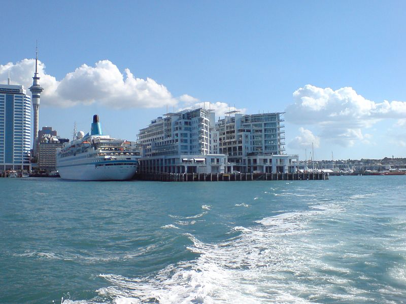
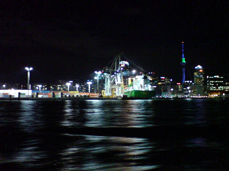
Ports of Auckland Limited, the successor to the Auckland Harbour Board, is the Auckland Council-owned company administering Auckland's commercial freight and cruise ship harbour facilities. As the company operates all of the associated facilities in the Greater Auckland area, this article is about both the current company and the ports of Auckland themselves. ()
Coordinates: 36°50'38"S, 174°46'37"E
Day trips
Ports of Auckland – popular in the area (distance from the attraction)
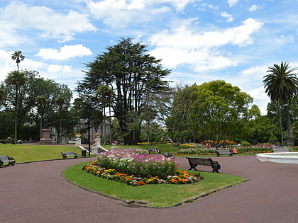
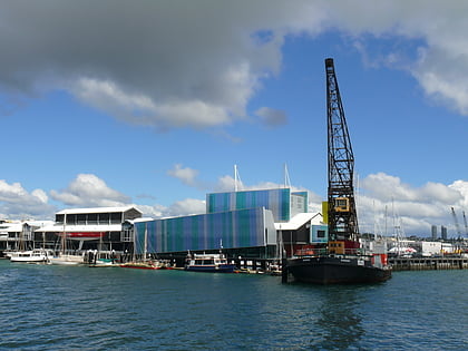
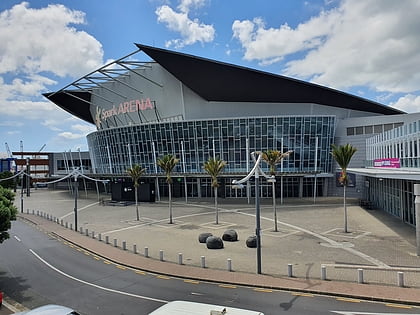
Nearby attractions include: Albert Park, New Zealand Maritime Museum, Spark Arena, Commercial Bay Shopping Centre.
Frequently Asked Questions (FAQ)
Which popular attractions are close to Ports of Auckland?
Nearby attractions include Spark Arena, Auckland (6 min walk), Anzac Avenue, Auckland (11 min walk), Gus Fisher Gallery, Auckland (12 min walk), Kenneth Myers Centre, Auckland (12 min walk).
How to get to Ports of Auckland by public transport?
The nearest stations to Ports of Auckland:
Bus
Train
Ferry
Tram
Bus
- Mahuhu Crescent • Lines: Inn (8 min walk)
- Ronayne Street • Lines: Inn (12 min walk)
Train
- The Strand (9 min walk)
- Britomart (12 min walk)
Ferry
- Downtown Pier 2 (15 min walk)
- Downtown Pier 1 (15 min walk)
Tram
- Halsey Street • Lines: Wynyard Loop (27 min walk)
- Gaunt Street • Lines: Wynyard Loop (30 min walk)
