Auckland Libraries, Auckland
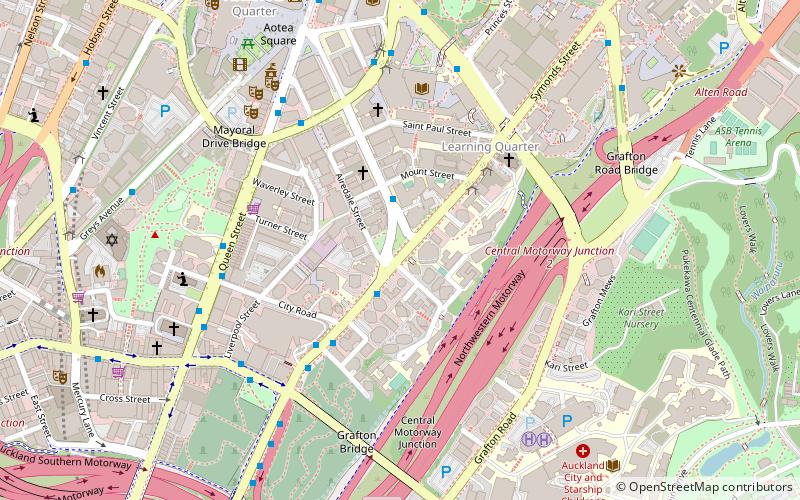
Map
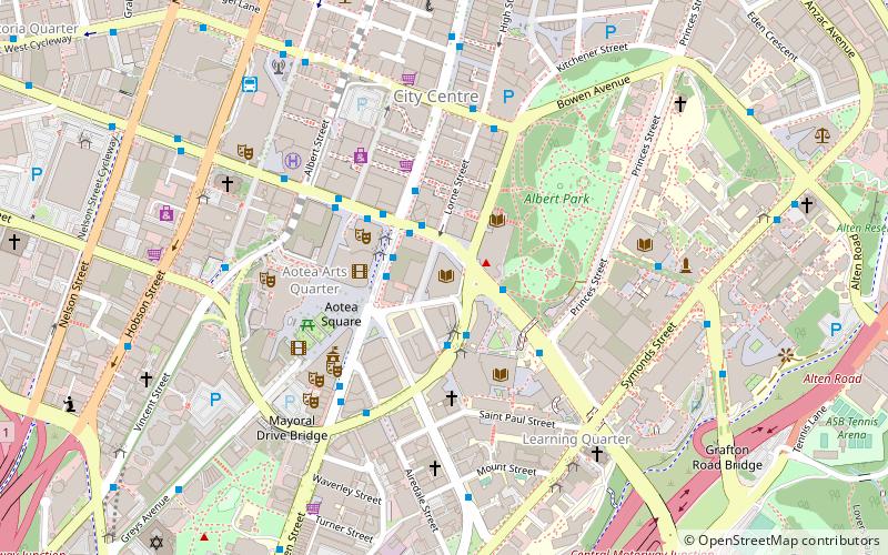
Map

Facts and practical information
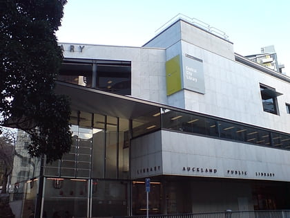
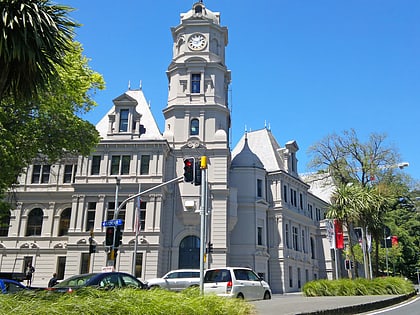
Auckland Libraries is the public library system for the Auckland Region of New Zealand. It was created when the seven separate councils in the Auckland region merged in 2010. It is currently the largest public-library network in the Southern Hemisphere with 55 branches from Wellsford to Waiuku. Currently from March 2021, the region has a total of 56 branches. ()
Coordinates: 36°51'6"S, 174°45'55"E
Address
42 - 46 Lorne StreetCentral Auckland (Auckland Central Business District)Auckland
Contact
+64 9-377 0209
Social media
Add
Day trips
Auckland Libraries – popular in the area (distance from the attraction)
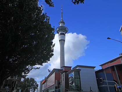
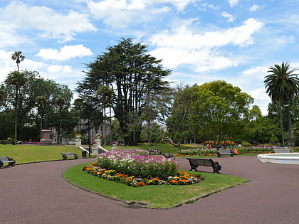
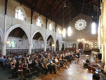
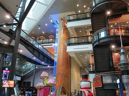
Nearby attractions include: Sky Tower, Albert Park, St Paul's Church, Auckland Art Gallery.
Frequently Asked Questions (FAQ)
Which popular attractions are close to Auckland Libraries?
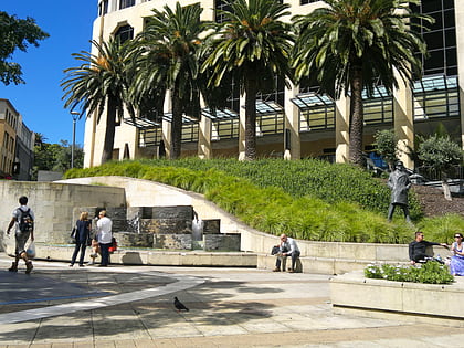
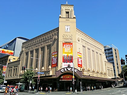
Nearby attractions include Auckland Art Gallery, Auckland (2 min walk), Khartoum Place, Auckland (3 min walk), St. James Theatre, Auckland (3 min walk), Civic Theatre, Auckland (3 min walk).
How to get to Auckland Libraries by public transport?
The nearest stations to Auckland Libraries:
Bus
Train
Ferry
Tram
Bus
- Wellesley C • Lines: 25B, 25L, Out (2 min walk)
- Wellesley E • Lines: Out (2 min walk)
Train
- Britomart (14 min walk)
- Parnell (19 min walk)
Ferry
- Downtown Pier 1 (16 min walk)
- Downtown Pier 11 (17 min walk)
Tram
- Gaunt Street • Lines: Wynyard Loop (18 min walk)
- Daldy Street • Lines: Wynyard Loop (21 min walk)
