War memorial, Hampden
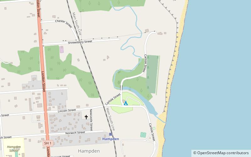
Map
Facts and practical information
War memorial is a place located in Hampden (Canterbury region) and belongs to the category of memorial.
It is situated at an altitude of 33 feet, and its geographical coordinates are 45°19'21"S latitude and 170°49'23"E longitude.
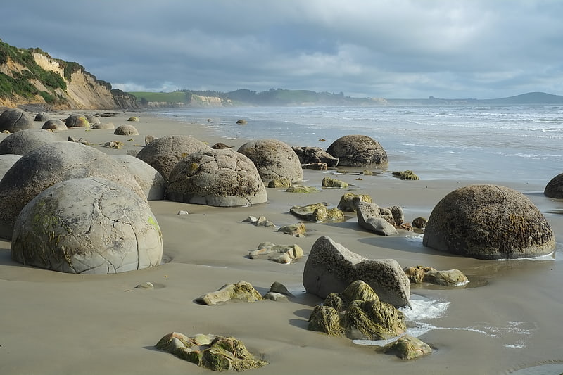
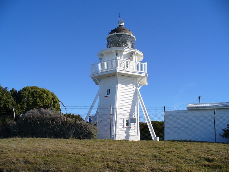
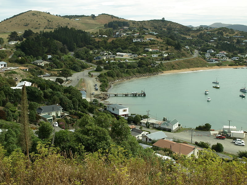
Among other places and attractions worth visiting in the area are: Moeraki Boulders (natural attraction, 41 min walk), Moeraki (locality, 77 min walk), Katiki Point Lighthouse (lighthouse, 134 min walk).
Coordinates: 45°19'21"S, 170°49'23"E
Address
Hampden
ContactAdd
Social media
Add
Day trips