Saddle Hill
Map
Gallery
Facts and practical information
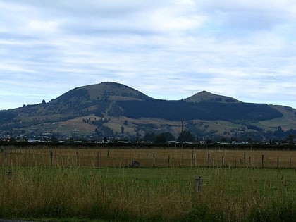
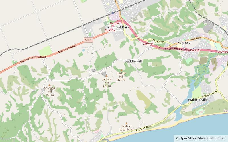
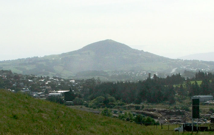
Saddle Hill is a prominent landmark overlooking the northeastern end of the Taieri Plains in Otago, New Zealand. Within the limits of Dunedin city, it is located 18 kilometres to the west of the city centre, between Mosgiel and Green Island, and is clearly visible from many of the city's southern hill suburbs. A lookout on the northern slopes of the hill commands a good view across the plains, with Lake Waihola visible 25 kilometres to the west in clear weather. ()
Coordinates: 45°54'40"S, 170°21'4"E
Location
Otago
ContactAdd
Social media
Add
Day trips
Saddle Hill – popular in the area (distance from the attraction)
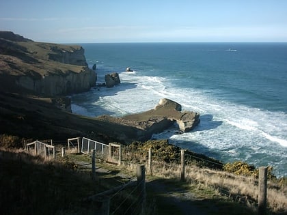
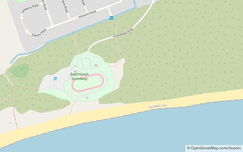
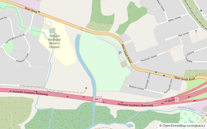
Nearby attractions include: Tunnel Beach, Green Island, Island Park Recreation Reserve, Sunnyvale Park.
