Cracroft Reserve, Christchurch
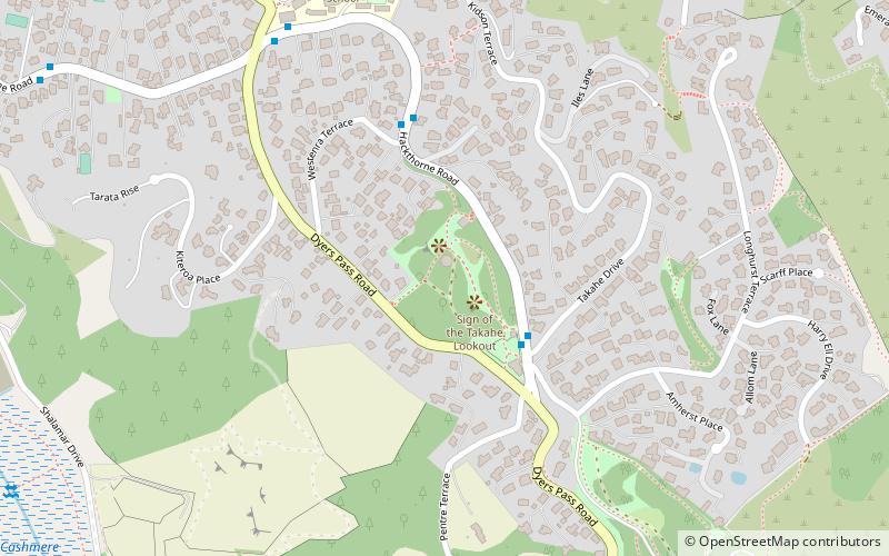
Map
Map

Facts and practical information
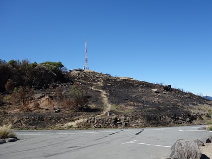
Cracroft Reserve is a 3.2 hectare public reserve on Cracroft Hill in the Cashmere suburb of Christchurch, New Zealand. It is situated next to the Sign of the Takahe. Cracroft Reserve is a popular stop for tourists, and residents, with its viewing platform at 200 metres elevation providing panoramic views of Christchurch city, the Canterbury Plains, and the Southern Alps. The main entrance to the reserve is from the southern end of Hackthorne Road. ()
Elevation: 627 ft a.s.l.Coordinates: 43°34'49"S, 172°38'2"E
Address
CashmereChristchurch
ContactAdd
Social media
Add
Day trips
Cracroft Reserve – popular in the area (distance from the attraction)
Nearby attractions include: Victoria Park, Cracroft Caverns, Christchurch Adventure Park, Cashmere.
Frequently Asked Questions (FAQ)
Which popular attractions are close to Cracroft Reserve?
Nearby attractions include Cashmere, Christchurch (14 min walk), Cracroft Caverns, Christchurch (18 min walk), Christchurch Adventure Park, Christchurch (24 min walk).
How to get to Cracroft Reserve by public transport?
The nearest stations to Cracroft Reserve:
Bus
Bus
- Cashmere • Lines: 1 (3 min walk)
- Huntsbury • Lines: 17 (31 min walk)
