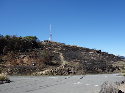
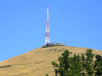
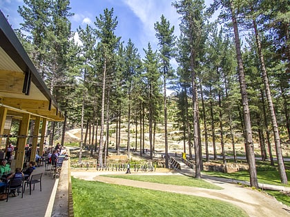
Victoria Park, Christchurch
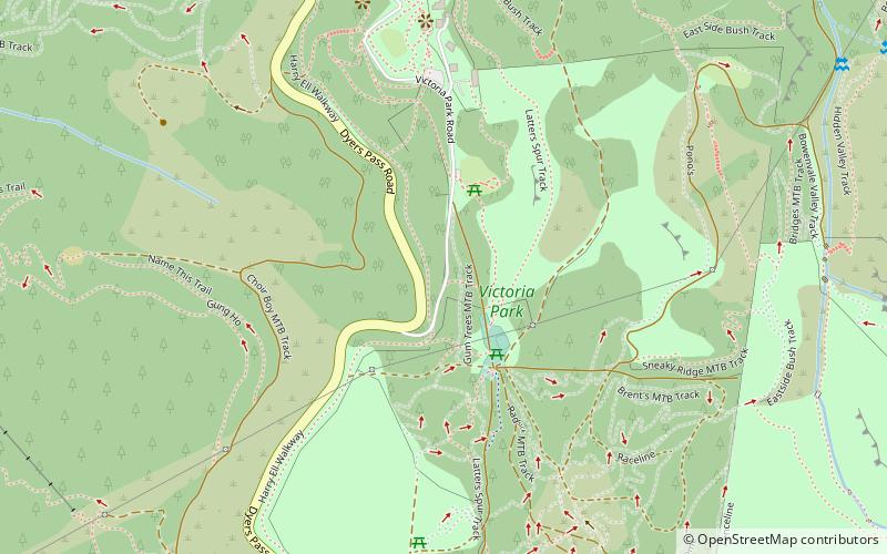
Map
Gallery
Facts and practical information
Victoria Park is a large recreational area on the Port Hills above Christchurch, New Zealand. ()
Elevation: 942 ft a.s.l.Coordinates: 43°35'38"S, 172°38'38"E
Day trips
Victoria Park – popular in the area (distance from the attraction)
Nearby attractions include: Sugarloaf, Cracroft Reserve, Christchurch Adventure Park, Sign of the Kiwi.
Frequently Asked Questions (FAQ)
Which popular attractions are close to Victoria Park?
Nearby attractions include Christchurch Adventure Park, Christchurch (19 min walk), Sign of the Kiwi, Christchurch (23 min walk).
How to get to Victoria Park by public transport?
The nearest stations to Victoria Park:
Bus
Bus
- Cashmere • Lines: 1 (25 min walk)
