Ferrymead, Christchurch
Map

Map

Facts and practical information
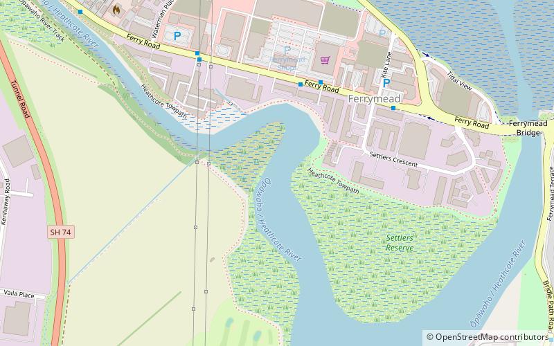
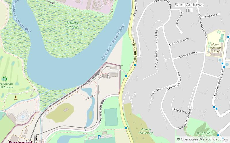
Ferrymead is a suburb south-east of Christchurch, New Zealand. It is the main thoroughfare for reaching the eastern sea suburbs such as Sumner, as well as home to a number of cliff-top residences and businesses along the estuary front. After the 2011 Canterbury earthquake, a number of prominent Christchurch businesses relocated to the Ferrymead area, making it into a secondary business hub. ()
Area: 0.79 mi²Coordinates: 43°33'34"S, 172°42'4"E
Address
FerrymeadChristchurch
ContactAdd
Social media
Add
Day trips
Ferrymead – popular in the area (distance from the attraction)
Nearby attractions include: Ferrymead Railway, Ferrymead Heritage Park, National Railway Museum of New Zealand, Woolston.
Frequently Asked Questions (FAQ)
Which popular attractions are close to Ferrymead?
Nearby attractions include Tramway Historical Society, Christchurch (12 min walk), National Railway Museum of New Zealand, Christchurch (13 min walk), Ferrymead Heritage Park, Christchurch (15 min walk).


