Woolston, Christchurch
Map
Gallery
Facts and practical information
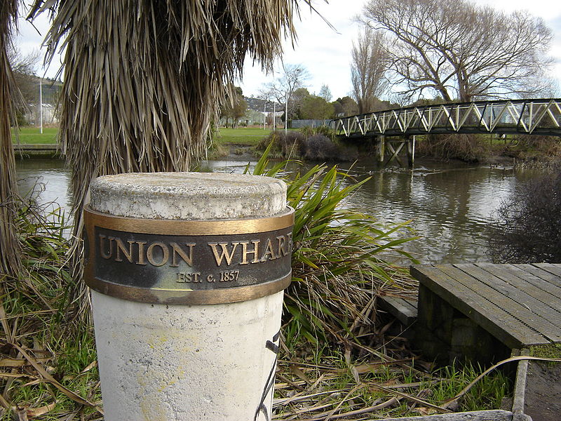
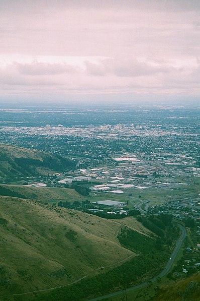
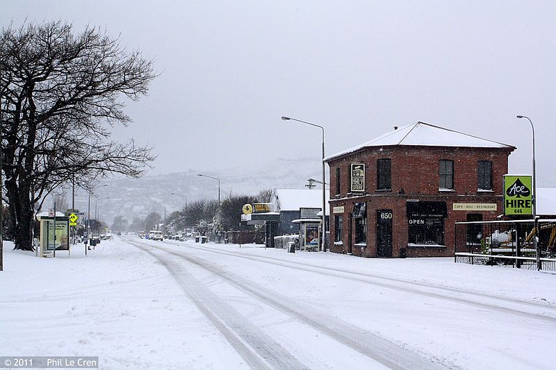
Woolston is a light industrial and residential suburb of Christchurch in the South Island of New Zealand. It is situated three kilometres southeast of the city centre, close to major arterial routes including State Highways 74 and 76 to Banks Peninsula. The Heathcote River flows through the suburb. ()
Area: 1.16 mi²Coordinates: 43°33'12"S, 172°40'59"E
Address
WoolstonChristchurch
ContactAdd
Social media
Add
Day trips
Woolston – popular in the area (distance from the attraction)
Nearby attractions include: Ferrymead Railway, Ferrymead Heritage Park, Bromley Cemetery, National Railway Museum of New Zealand.


