Travis Wetland, Christchurch
Map

Map

Facts and practical information
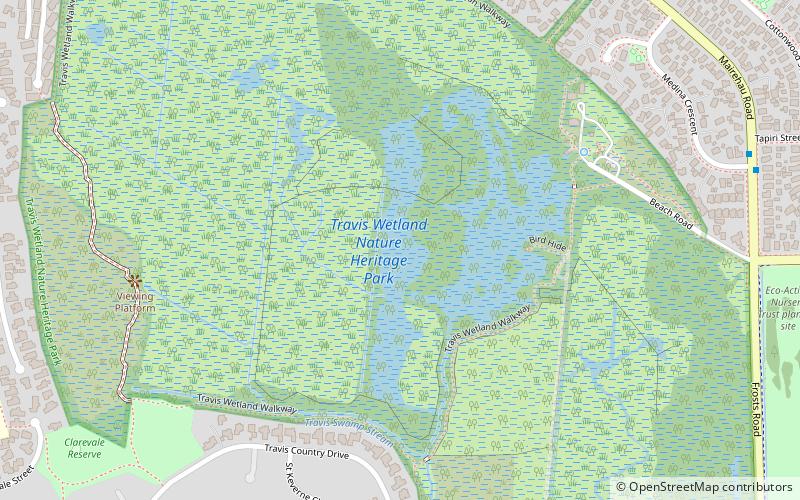
Travis Wetland is a wetland in the suburb of Burwood in Christchurch, New Zealand. An ecological restoration programme is being undertaken to restore the wetland. It covers 116 ha of land formerly drained and used as a dairy farm. In 2009 it won the "Urban Sustainability" category in the Green Ribbon Awards awarded by the Minister for the Environment. ()
Elevation: 7 ft a.s.l.Coordinates: 43°29'11"S, 172°41'38"E
Day trips
Travis Wetland – popular in the area (distance from the attraction)
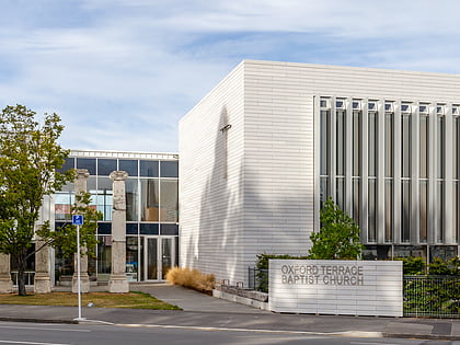
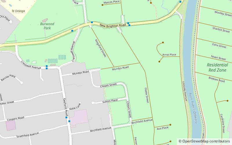
Nearby attractions include: The Palms Shopping Centre, Oxford Terrace Baptist Church, Linwood Islamic Centre, Residential red zone.
Frequently Asked Questions (FAQ)
How to get to Travis Wetland by public transport?
The nearest stations to Travis Wetland:
Bus
Bus
- Burwood Rd near Rothesay Rd • Lines: 135 (25 min walk)


