Kapiti Island
Map
Gallery
Facts and practical information
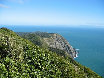
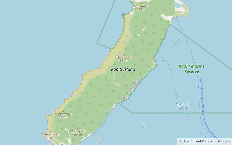
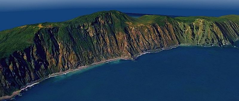
Kapiti Island is an island about 5 km off the west coast of the lower North Island of New Zealand. It is 10 km long, running southwest/northeast, and roughly 2 km wide, being more or less rectangular in shape, and has an area of 19.65 km2. Its name has been used since 1989 by the Kapiti Coast District Council, which includes towns such as Paekakariki, Raumati South, Paraparaumu and Waikanae. ()
Location
Wellington
ContactAdd
Social media
Add
Day trips
Kapiti Island – popular in the area (distance from the attraction)
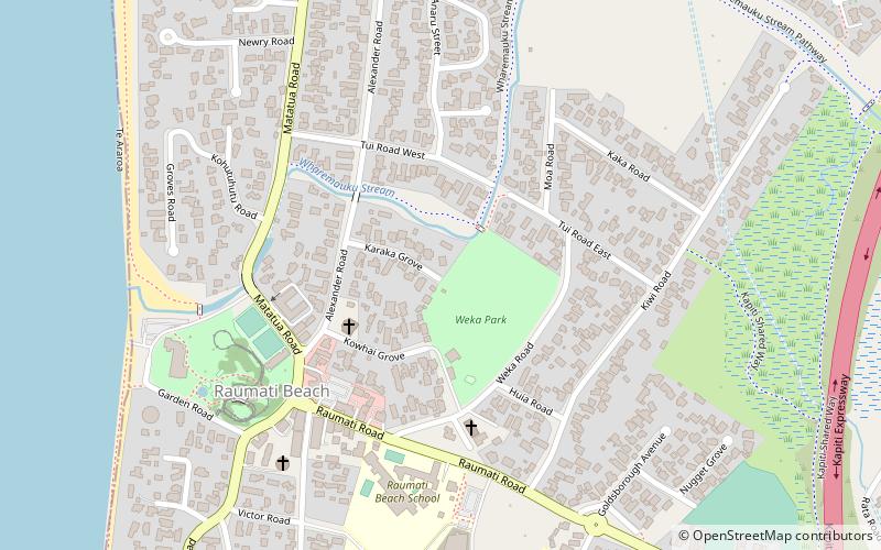
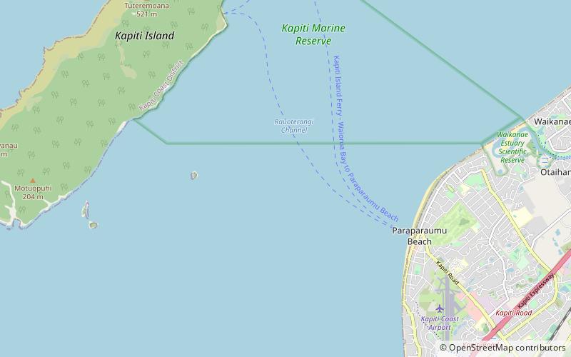
Nearby attractions include: Raumati Marine Gardens, Weka Park, Kapiti Coast, Kapiti Marine Reserve.
