Port Underwood
Map

Map

Facts and practical information
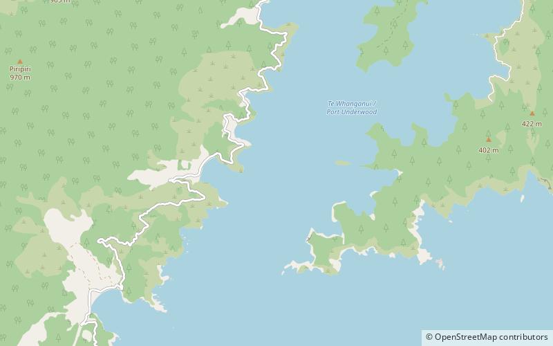
Te Whanganui / Port Underwood is a sheltered harbour which forms the north-east extension of Te Koko-o-Kupe / Cloudy Bay at the northeast of New Zealand's South Island, on the east coast of the Marlborough Sounds. With only a relatively narrow entrance to the south-south-east it is sheltered from almost all winds. Originally considered part of Cloudy Bay, the port was named after Joseph Underwood of the shipping firm Kabel and Underwood in the early 19th century. ()
Coordinates: 41°19'60"S, 174°7'1"E
Location
Marlborough
ContactAdd
Social media
Add
