Poor Knights Islands Marine Reserve

Map
Facts and practical information
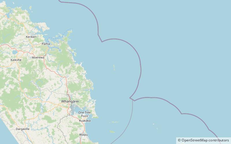
The Poor Knights Islands Marine Reserve is a protected area off the coast of the North Island of New Zealand. The reserve, established in 1981 and covering an area of 1,890 ha, is administered by the Department of Conservation. It surrounds the Poor Knights Islands and adjacent rock stacks Sugarloaf Rock and High Peak Rocks. It is one of the world's ten most popular sites for scuba diving. with dive trips regularly leaving from the town of Tutukaka. ()
Established: 1981 (45 years ago)Area: 7.42 mi²Coordinates: 35°30'0"S, 174°45'0"E
Location
Northland
ContactAdd
Social media
Add
Day trips
Poor Knights Islands Marine Reserve – popular in the area (distance from the attraction)
Nearby attractions include: Poor Knights Islands, Aorangaia Island.

