Aorangaia Island

Gallery (1)
Map

Map
Facts and practical information
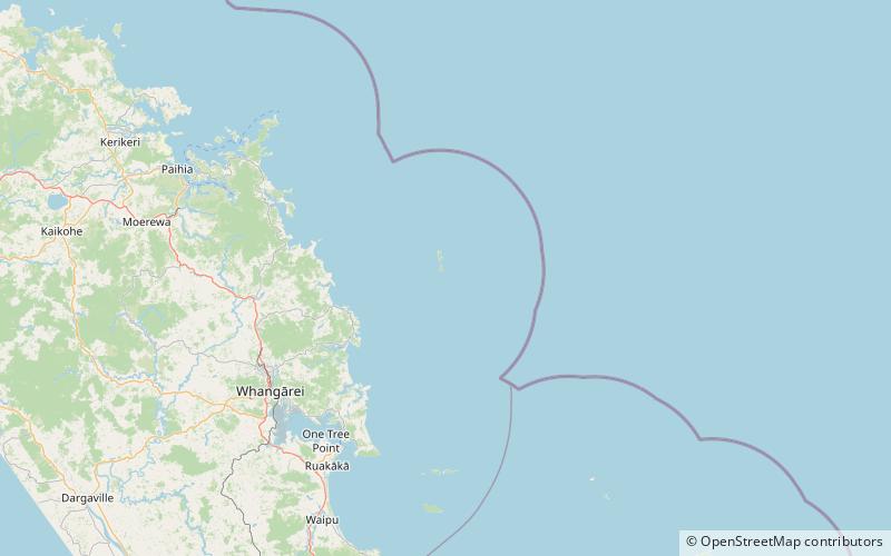
Aorangaia Island is an island in the Northland Region of New Zealand, part of the Poor Knights Islands. It has a highest point of 102 metres and is 21 kilometres from the New Zealand mainland. ()
Location
Northland
ContactAdd
Social media
Add
Day trips