Motutapu Island
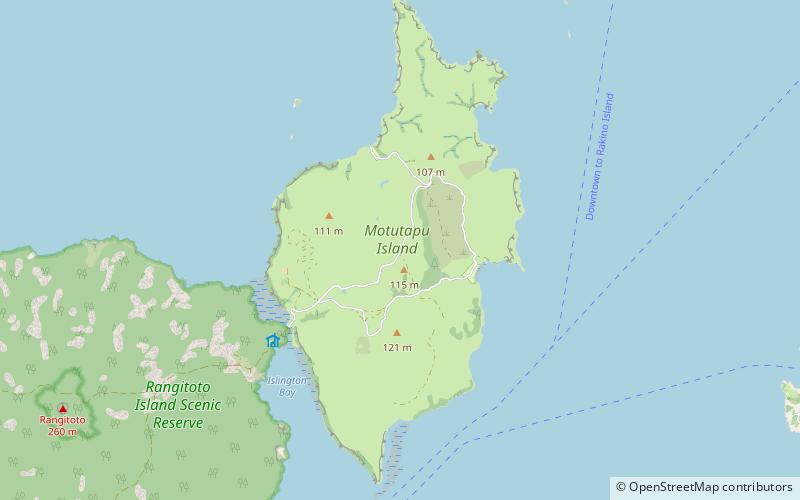
Map

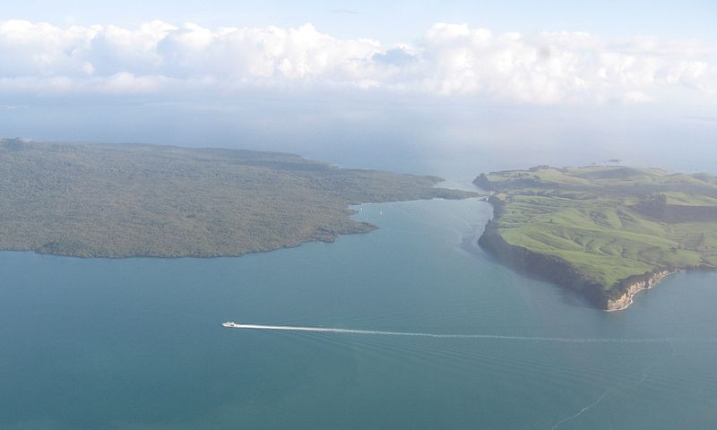
Gallery

Facts and practical information
Motutapu Island is a 1,510 ha island in the Hauraki Gulf to the northeast of the city of Auckland, New Zealand. The island is part of the Hauraki Gulf Maritime Park. Its full name, rarely used, is Te Motutapu a Taikehu, "The sacred island of Taikehu", Taikehu having been a tohunga of the Tainui iwi. 'Motutapu', meaning "sacred" or "sanctuary" island, is a term used for various islands in a number of Polynesian cultures. The island can be accessed via regular ferry services departing from Auckland City. ()
Location
Auckland
ContactAdd
Social media
Add
Day trips
Motutapu Island – popular in the area (distance from the attraction)
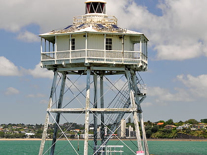
Nearby attractions include: Bean Rock Lighthouse, Auckland volcanic field, Rangitoto Island, Motukorea.


