Matiatia, Waiheke Island

Map
Facts and practical information
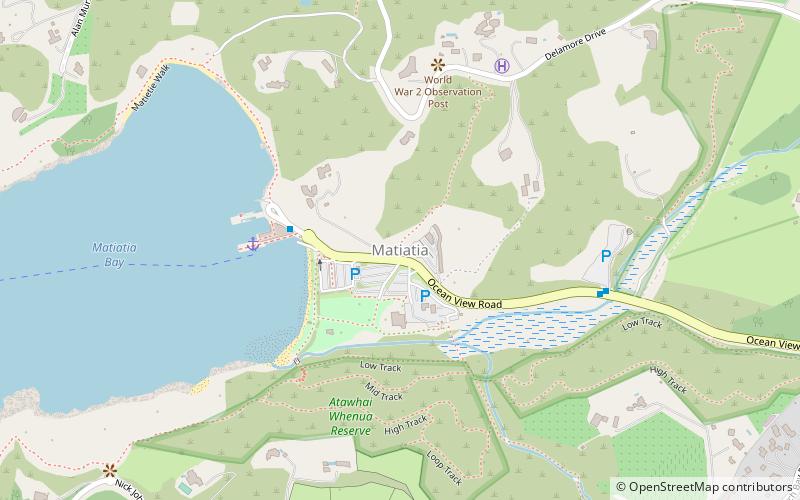
Matiatia is a location at the western end of Waiheke Island, in New Zealand's Hauraki Gulf. The name is used for both a valley and its surrounding hills, with the valley stretching down to a foreshore and wharf on the gulf. Matiatia is known as "The Gateway to Waiheke Island". ()
Coordinates: 36°46'50"S, 174°59'41"E
Address
Waiheke Island
ContactAdd
Social media
Add
Day trips
Matiatia – popular in the area (distance from the attraction)
Nearby attractions include: Waiheke Island Historic Village, Motukorea, Motuihe Island, Motutapu Island.


