Mount Luxmore, Fiordland National Park
Map

Map

Facts and practical information
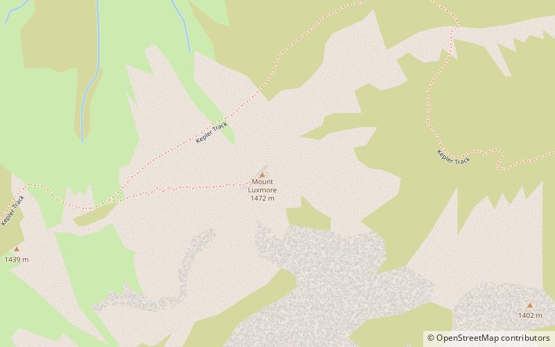
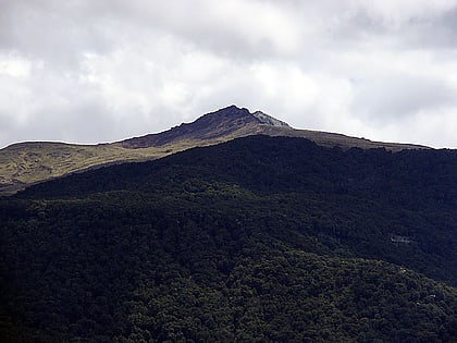
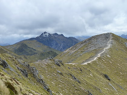
Mount Luxmore is a mountain in the South Island of New Zealand and visible from the nearby town of Te Anau. The mountain is 1,472 metres high. It is part of the Kepler Track with the highest point on the track being the slightly lower Luxmore Saddle at a height of 1,400 metres. ()
Elevation: 4829 ftCoordinates: 45°23'10"S, 167°35'28"E
Address
Fiordland National Park
ContactAdd
Social media
Add
Day trips
Mount Luxmore – popular in the area (distance from the attraction)
Nearby attractions include: Kepler Track.

