Mount Tauhara
Map
Gallery
Facts and practical information
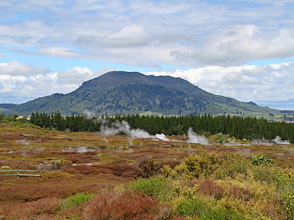
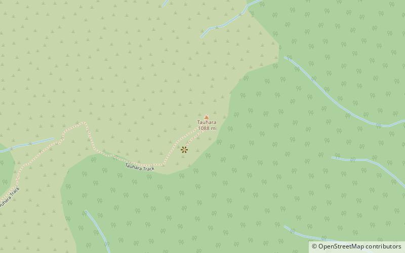
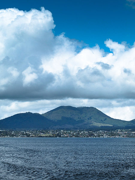
Mount Tauhara is a dormant lava dome volcano in New Zealand's North Island, reaching 1,088 metres above sea level. It is situated within the Taupō caldera towards the centre of the Taupō Volcanic Zone, which stretches from Whakaari / White Island in the north to Mount Ruapehu in the south. It is 6 kilometres east of the town of Taupō, next to the northeastern shore of Lake Taupō. ()
Elevation: 3570 ftCoordinates: 38°41'40"S, 176°9'47"E
Location
Waikato
ContactAdd
Social media
Add
Day trips
Mount Tauhara – popular in the area (distance from the attraction)
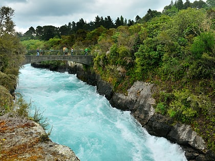
Nearby attractions include: Huka Falls, Craters of the Moon, Taupo Bungy, Lake Taupo Museum and Art Gallery.

