Lake Hood
Map
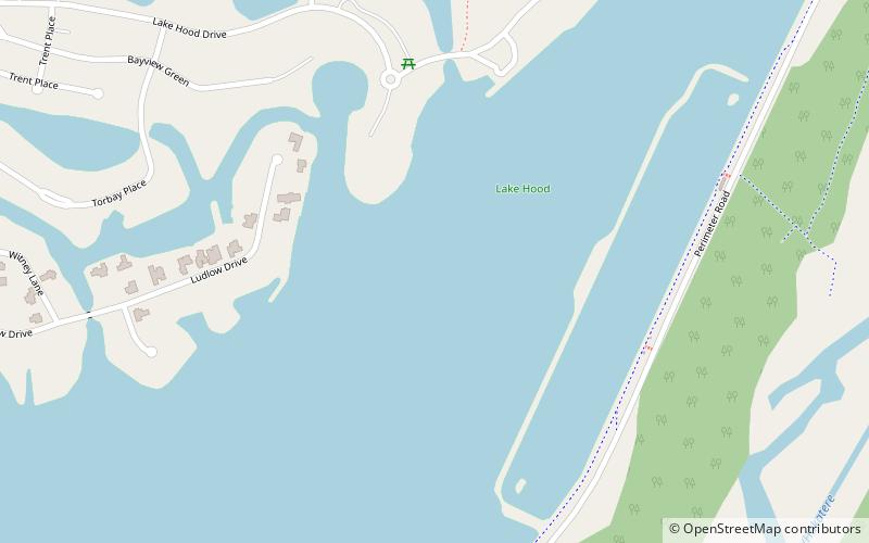
Map

Facts and practical information
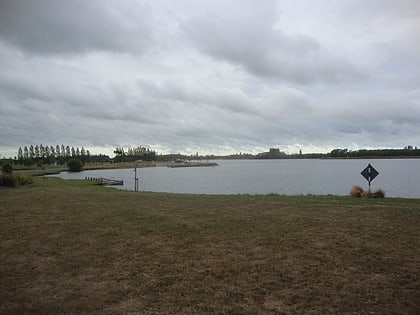
Lake Hood is a man-made recreational lake, located 6 km south-east of Tinwald in the locality of Huntingdon, Canterbury, New Zealand. It was opened in 2001 by the Right Honourable Jenny Shipley. It is 2.3 km long by 1 km wide and is more than 80 hectares in area. It features an eight lane rowing course and separate waterskiing and jet skiing areas, and is home to Water Ski Lake Hood. It is increasing in popularity for rowing, as it is not as susceptible to wind as the main South Island rowing venue, Lake Ruataniwha. ()
Length: 7546 ftWidth: 3281 ftElevation: 194 ft a.s.l.Coordinates: 43°58'3"S, 171°46'19"E
Location
Canterbury
ContactAdd
Social media
Add
Day trips
Lake Hood – popular in the area (distance from the attraction)
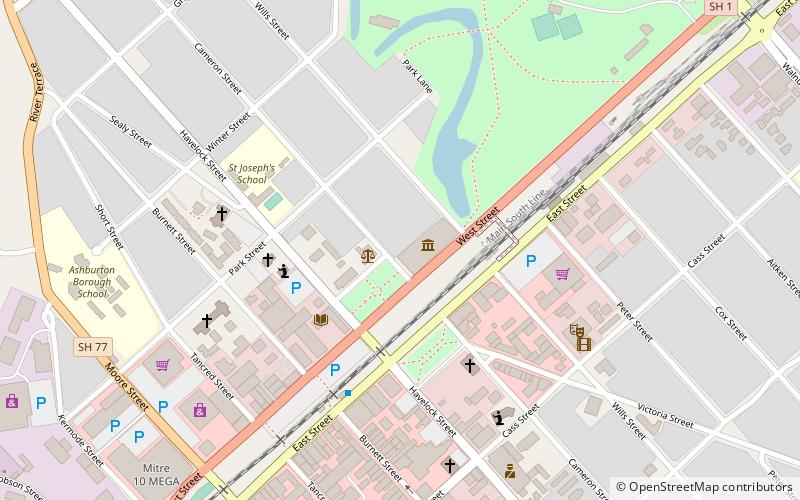
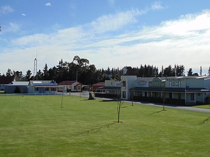
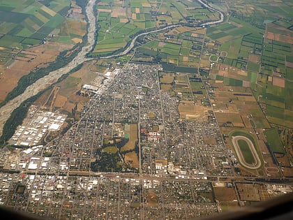
Nearby attractions include: Art Gallery, The Plains Railway, Ashburton Domain, Ashburton Aviation Museum.
