Waiheke Island Historic Village, Waiheke Island

Gallery (1)
Map
Map
Facts and practical information
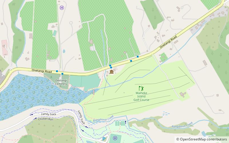
Waiheke Island Historic Village (address: 165 Onetangi Road) is a place located in Waiheke Island (Auckland region) and belongs to the category of museum.
It is situated at an altitude of 43 feet, and its geographical coordinates are 36°48'5"S latitude and 175°4'12"E longitude.
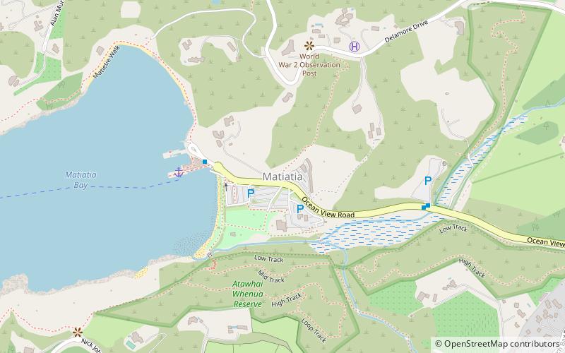
Among other places and attractions worth visiting in the area are: Matiatia (neighbourhood, 113 min walk), Ōmana Regional Park (park, 154 min walk).
Coordinates: 36°48'5"S, 175°4'12"E
Day trips