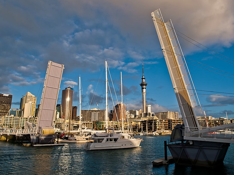
Waitematā Harbour, Auckland

Gallery (5)
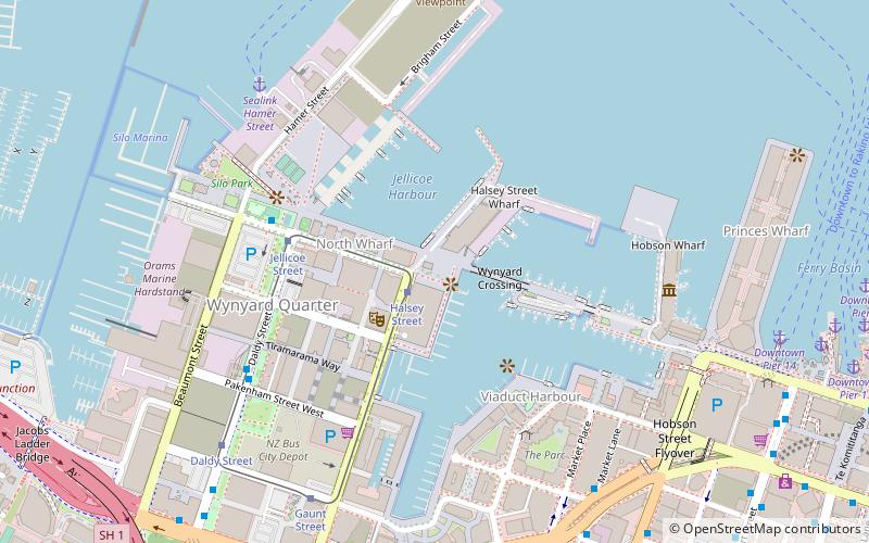
Map

Map

Gallery
Facts and practical information
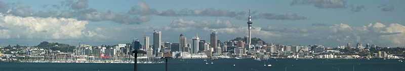
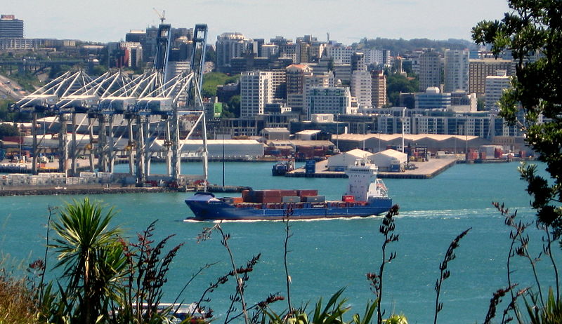
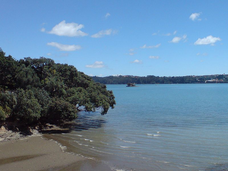
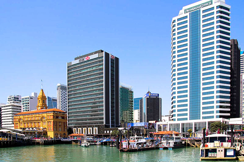
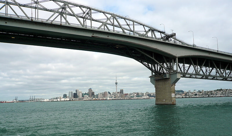
Waitematā Harbour is the main access by sea to Auckland, New Zealand. For this reason it is often referred to as Auckland Harbour, despite the fact that it is one of two harbours adjoining the city. The harbour forms the northern and eastern coasts of the Auckland isthmus and is crossed by the Auckland Harbour Bridge. It is matched on the southern side of the city by the shallower waters of the Manukau Harbour. ()
Address
North Shore (Birkenhead)Auckland
ContactAdd
Social media
Add
Getting there by public transportation
Public transportation stops near this location
- Bus
- Tram
- Ferry
 Bus
Bus
- Calculate routeTe Onewa Northcote Point Ferry Terminal 13 min walk
- Calculate routeSealink Hamer Street 29 min walk
- Calculate routeArdmore Road 27 min walk
- Calculate routeCurran Street 28 min walk
- Calculate routeLawrence Street 28 min walk
- Calculate routeFanshawe Street / Daldy Street 35 min walk
- Calculate routeJellicoe Street 32 min walk
- Calculate routeDaldy Street 35 min walk
- Calculate routeHalsey Street 36 min walk
- Calculate routeGaunt Street 37 min walk
Day trips


Frequently Asked Questions (FAQ)
Which popular attractions are close to Waitematā Harbour?
Nearby attractions include Auckland Harbour Bridge, Auckland (12 min walk), Watchman Island, Auckland (13 min walk), Second Harbour Crossing, Auckland (16 min walk), Westhaven Marina, Auckland (20 min walk).
How to get to Waitematā Harbour by public transport?
The nearest stations to Waitematā Harbour:
Ferry
Bus
Tram
Ferry
- Te Onewa Northcote Point Ferry Terminal (13 min walk)
- Sealink Hamer Street (29 min walk)
Bus
- Ardmore Road • Lines: Out (27 min walk)
- Curran Street • Lines: Out (28 min walk)
Tram
- Jellicoe Street • Lines: Wynyard Loop (32 min walk)
- Daldy Street • Lines: Wynyard Loop (35 min walk)