Beachlands

Gallery (3)
Map
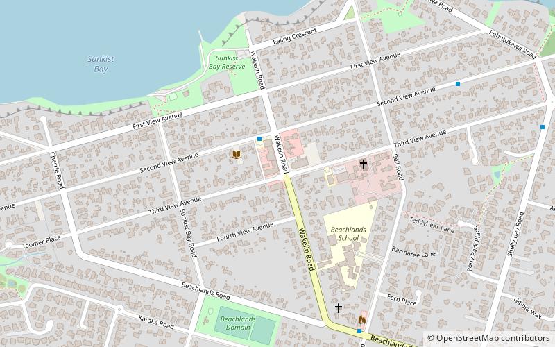
Map
Gallery
Facts and practical information
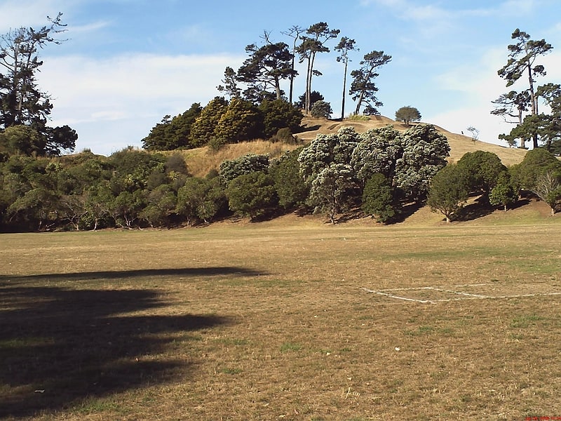
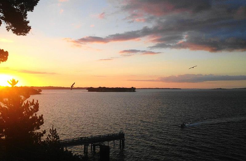
Beachlands is an outer suburb of Auckland, New Zealand, established in the 1920s, where development increased in the 1950s due to its popularity as a beach holiday destination. It is located on the "Pohutukawa Coast" and in close proximity to Maraetai. ()
Location
Auckland
ContactAdd
Social media
Add
Day trips