Bucklands Beach, Auckland
Map
Map

Facts and practical information
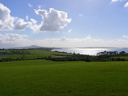
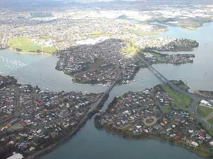
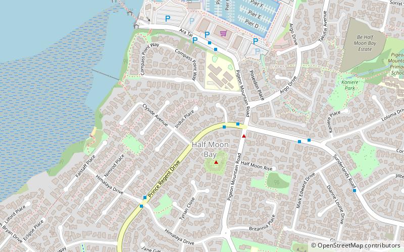
Bucklands Beach is a suburb 13 kilometres east of Auckland's CBD in New Zealand. The suburb is in the Howick ward, one of the thirteen administrative divisions of Auckland Council. ()
Coordinates: 36°53'3"S, 174°53'56"E
Address
East Auckland (Half Moon Bay)Auckland
ContactAdd
Social media
Add
Day trips
Bucklands Beach – popular in the area (distance from the attraction)
Nearby attractions include: Botany Town Centre, Pakuranga Plaza, Howick Historical Village, New Zealand Arthropod Collection.
Frequently Asked Questions (FAQ)
Which popular attractions are close to Bucklands Beach?
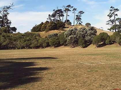
Nearby attractions include Pigeon Mountain, Auckland (11 min walk), Farm Cove Observatory, Auckland (18 min walk).
How to get to Bucklands Beach by public transport?
The nearest stations to Bucklands Beach:
Ferry
Ferry
- Half Moon Bay Passenger Ferry Terminal (10 min walk)
