Wainuiomata Tunnel, Lower Hutt
Map

Gallery
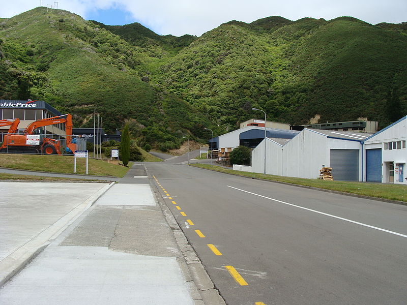
Facts and practical information
The Wainuiomata Tunnel was planned to improve access to the Wainuiomata Valley in the Wellington region of New Zealand’s North Island as part of a scheme to commence residential development there in the 1930s. Construction started in 1932 but was halted several years later when only partly completed due to a lack of funds brought about by economic depression. ()
Coordinates: 41°14'50"S, 174°55'26"E
Address
FernleaLower Hutt
ContactAdd
Social media
Add
Day trips
Wainuiomata Tunnel – popular in the area (distance from the attraction)
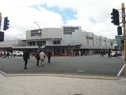
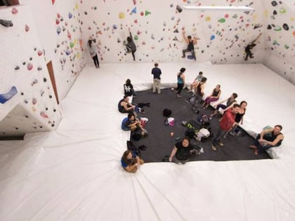
Nearby attractions include: Queensgate Shopping Centre, The Dowse Art Museum, Petone Settlers Museum, HangDog Indoor Climbing Centre.
Frequently Asked Questions (FAQ)
How to get to Wainuiomata Tunnel by public transport?
The nearest stations to Wainuiomata Tunnel:
Bus
Bus
- Hutt Park Roundabout – Waione Street • Lines: 130 (37 min walk)
- Randwick Road at Tirangi Road • Lines: 130 (38 min walk)

