Wellington Central, Wellington

Gallery (1)
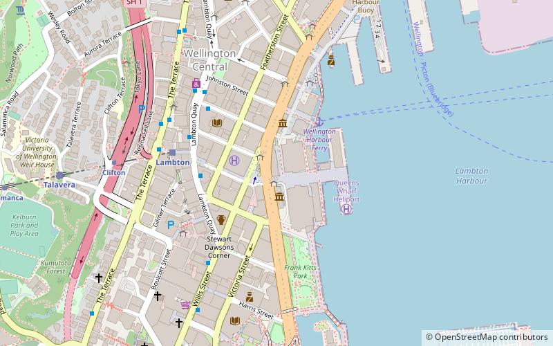
Map
Map
Facts and practical information
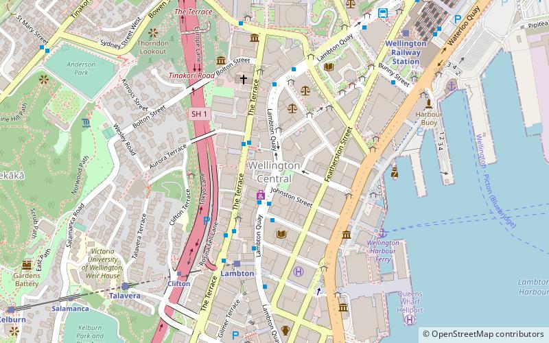
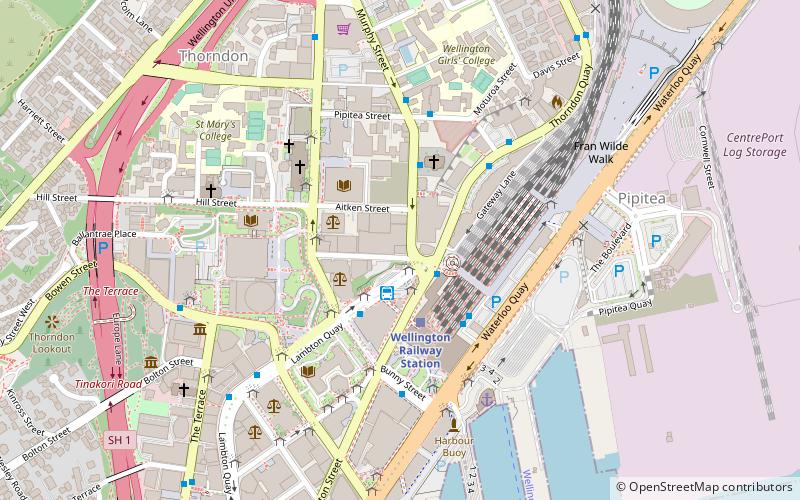
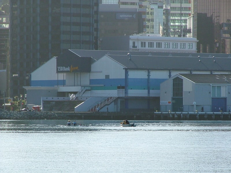
Wellington Central is an inner-city suburb of New Zealand's capital, Wellington. It comprises the northern part of the central business district, with the majority of Wellington's high-rise buildings. ()
Coordinates: 41°16'56"S, 174°46'33"E
Address
20 Customhouse QuayLambton Ward (Wellington Central)Wellington
ContactAdd
Social media
Add
Getting there by public transportation
Public transportation stops near this location
- Bus
- Train
- Ferry
 Bus
Bus
- Calculate routeLambton 5 min walk
- Calculate routeTalavera 8 min walk
- Calculate routeWellington Railway Station 9 min walk
- Calculate routeKelburn 13 min walk
- Calculate routeWellington Harbour Ferry 6 min walk
- Calculate routeWellington Station Bus Interchange 8 min walk
- Calculate routeMolesworth Street – Cathedral 12 min walk
- Calculate routeMurphy Street – Motorway 18 min walk
Day trips
Wellington Central – popular in the area (distance from the attraction)
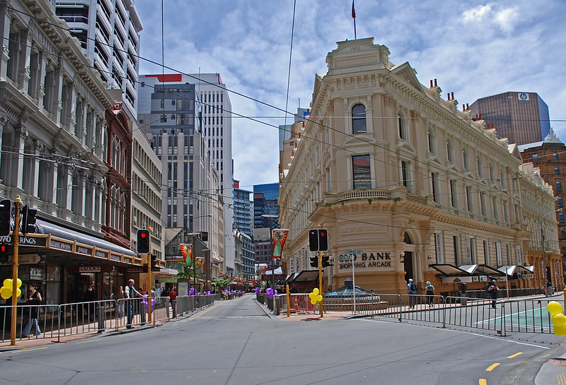
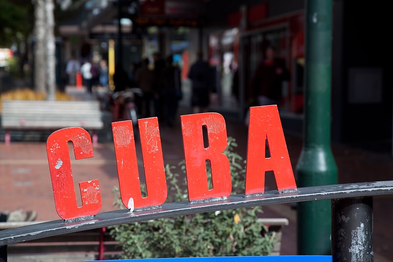
Nearby attractions include: Lambton Quay, Cuba Street, Willis Street, Thistle Inn.
Frequently Asked Questions (FAQ)
Which popular attractions are close to Wellington Central?
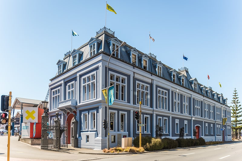
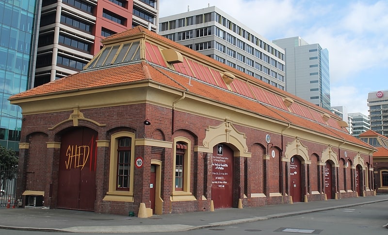
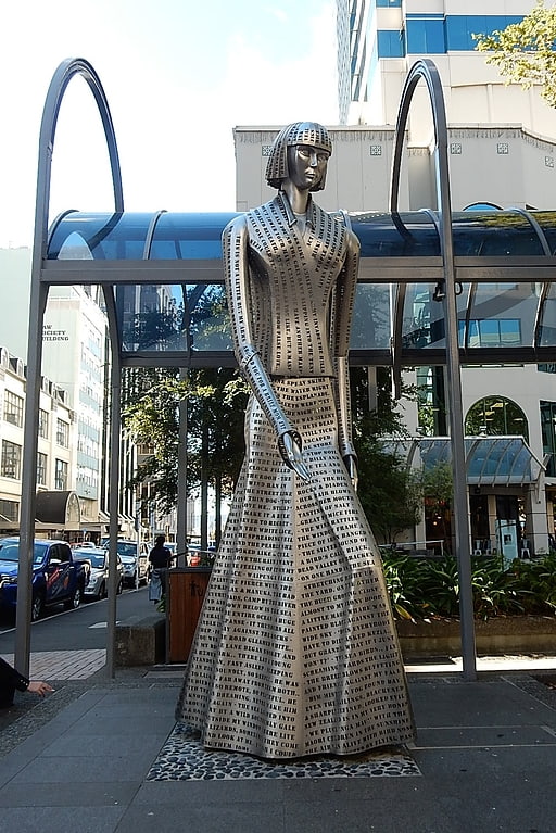
Nearby attractions include Statue of Katherine Mansfield, Wellington (1 min walk), Public Trust Building, Wellington (2 min walk), New Zealand Portrait Gallery, Wellington (4 min walk), Wellington Cable Car, Wellington (5 min walk).
How to get to Wellington Central by public transport?
The nearest stations to Wellington Central:
Train
Ferry
Bus
Train
- Lambton (5 min walk)
- Talavera (8 min walk)
Ferry
- Wellington Harbour Ferry (6 min walk)
Bus
- Wellington Station Bus Interchange (8 min walk)
- Molesworth Street – Cathedral • Lines: 14, 91 (12 min walk)