Anzac Avenue, Auckland
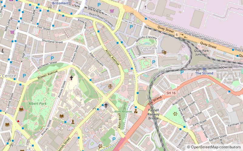
Map
Facts and practical information
Anzac Avenue is a street in Auckland, New Zealand's most populous city. It was constructed between 1914 and 1919 to link Beach Road to Symonds Street, and was named as a memorial to the troops who died in the Gallipoli campaign. ()
Coordinates: 36°50'56"S, 174°46'25"E
Address
Central Auckland (Auckland Central Business District)Auckland
ContactAdd
Social media
Add
Day trips
Anzac Avenue – popular in the area (distance from the attraction)
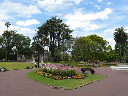
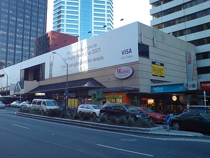
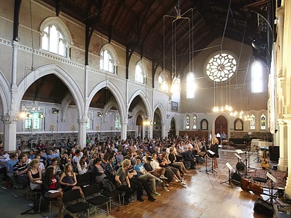
Nearby attractions include: Albert Park, Spark Arena, Commercial Bay Shopping Centre, St Paul's Church.
Frequently Asked Questions (FAQ)
Which popular attractions are close to Anzac Avenue?
Nearby attractions include The Northern Club, Auckland (6 min walk), Spark Arena, Auckland (6 min walk), Gus Fisher Gallery, Auckland (6 min walk), Kenneth Myers Centre, Auckland (6 min walk).
How to get to Anzac Avenue by public transport?
The nearest stations to Anzac Avenue:
Bus
Train
Ferry
Tram
Bus
- Ronayne Street • Lines: Inn (3 min walk)
- Mahuhu Crescent • Lines: Inn (4 min walk)
Train
- The Strand (9 min walk)
- Britomart (11 min walk)
Ferry
- Downtown Pier 1 (15 min walk)
- Downtown Pier 2 (15 min walk)
Tram
- Halsey Street • Lines: Wynyard Loop (26 min walk)
- Gaunt Street • Lines: Wynyard Loop (26 min walk)
