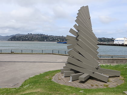
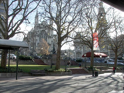
Otago, Dunedin
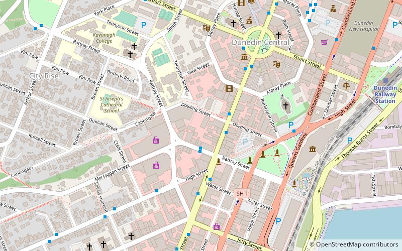
Map
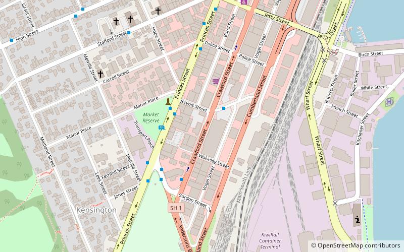
Map

Facts and practical information
Otago is a region of New Zealand located in the southern half of the South Island administered by the Otago Regional Council. It has an area of approximately 32,000 square kilometres, making it the country's second largest local government region. Its population was 246,700 in June 2021. ()
Day trips
Otago – popular in the area (distance from the attraction)
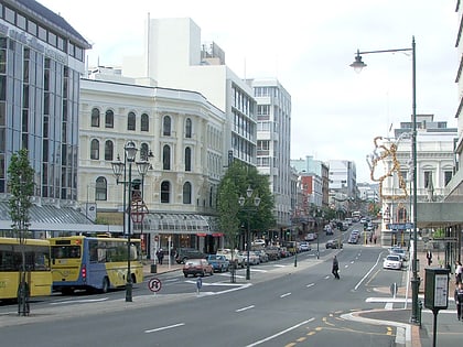
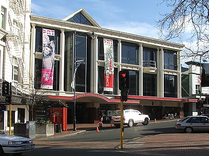
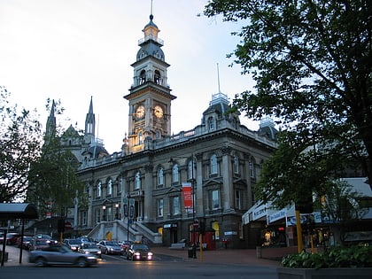
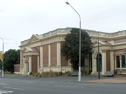
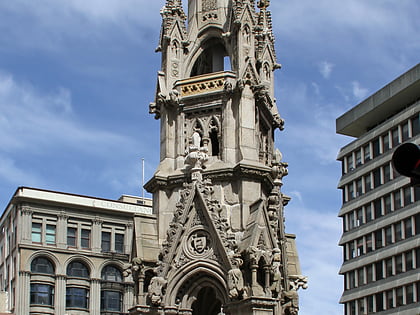
Nearby attractions include: Princes Street, New Zealand Sports Hall of Fame, Dunedin Public Art Gallery, Dunedin Town Hall.
Frequently Asked Questions (FAQ)
Which popular attractions are close to Otago?
Nearby attractions include Princes Street, Dunedin (6 min walk), St. Matthew's Church, Dunedin (7 min walk), Kensington Oval, Dunedin (9 min walk), Grand Casino Dunedin, Dunedin (10 min walk).
How to get to Otago by public transport?
The nearest stations to Otago:
Bus
Train
Bus
- Princes St, 575 • Lines: 10, 8S (2 min walk)
- Princes St, cnr Manor Pl • Lines: 8N (2 min walk)
Train
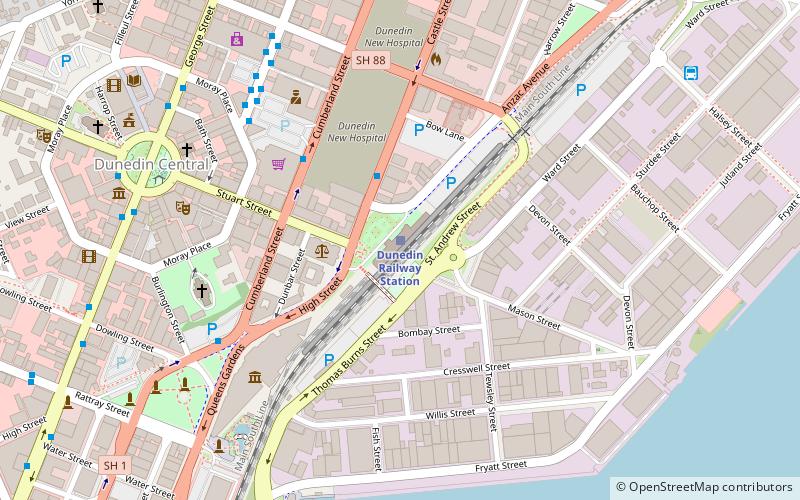
- Dunedin Railway Station (18 min walk)

