Mount Victoria Tunnel, Wellington
Map

Map

Facts and practical information
The Mount Victoria Tunnel in the New Zealand capital city of Wellington is 623 metres long and 5 metres in height, connecting Hataitai to the centre of Wellington and the suburb of Mount Victoria, under the mount of the same name. It is part of State Highway 1. ()
Coordinates: 41°18'11"S, 174°47'16"E
Address
Lambton Ward (Mt. Victoria)Wellington
ContactAdd
Social media
Add
Day trips
Mount Victoria Tunnel – popular in the area (distance from the attraction)
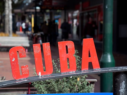
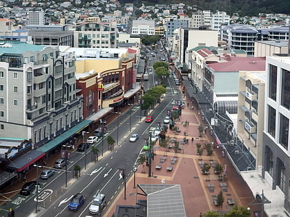
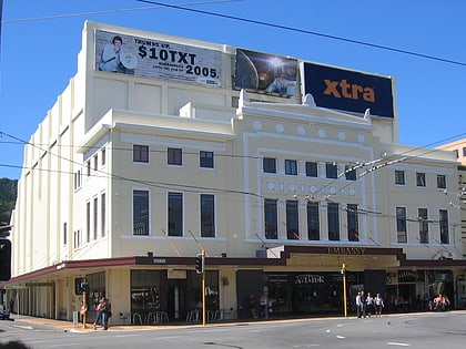
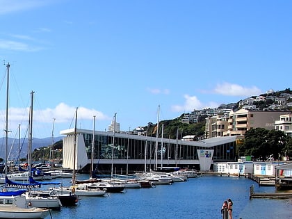
Nearby attractions include: Museum of New Zealand Te Papa Tongarewa, Cuba Street, Courtenay Place, Embassy Theatre.
Frequently Asked Questions (FAQ)
Which popular attractions are close to Mount Victoria Tunnel?
Nearby attractions include Gifford Observatory, Wellington (8 min walk), William Wakefield Memorial, Wellington (10 min walk), Government House, Wellington (11 min walk), Elliott House, Wellington (13 min walk).
How to get to Mount Victoria Tunnel by public transport?
The nearest stations to Mount Victoria Tunnel:
Bus
Bus
- Kilbirnie - Stop C • Lines: 3 (28 min walk)
- Kilbirnie - Stop A • Lines: 2, 20, 24, 91 (28 min walk)


