Whangapoua Beach, Great Barrier Island

Map
Facts and practical information
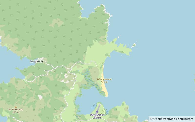
Whangapoua Beach is on the east coast of Great Barrier Island in New Zealand's Hauraki Gulf. The beach runs roughly north–south and has views of Rakitu Island. The Whangapoua Creek drains large estuarine wetlands and enters the sea at the southern end of the beach. ()
Coordinates: 36°7'5"S, 175°25'5"E
Address
Great Barrier Island
ContactAdd
Social media
Add
Day trips
Whangapoua Beach – popular in the area (distance from the attraction)
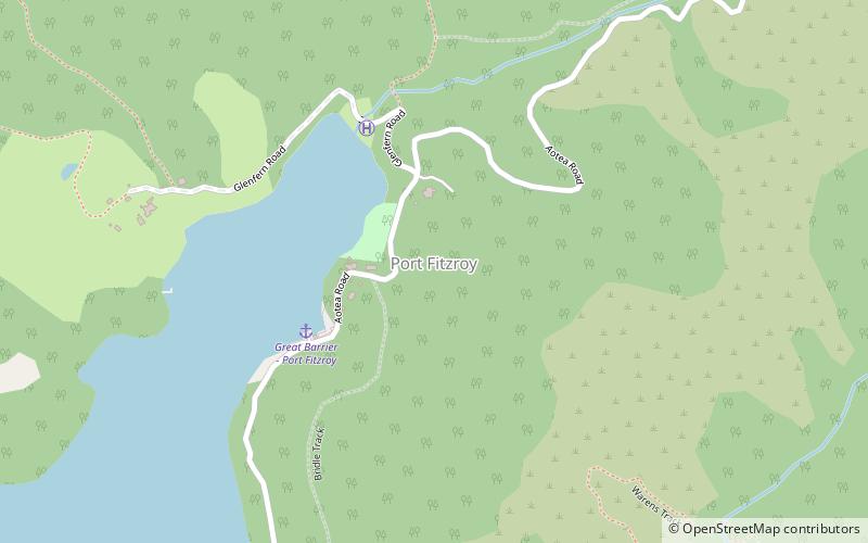
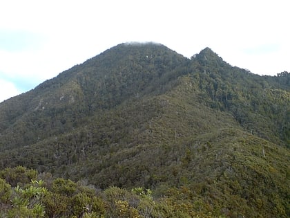
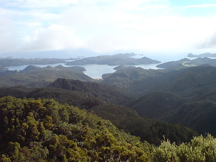
Nearby attractions include: Port Fitzroy, Mount Hobson, Aotea Conservation Park, Dragon Island.


