Puketiro Wind Farm, Porirua
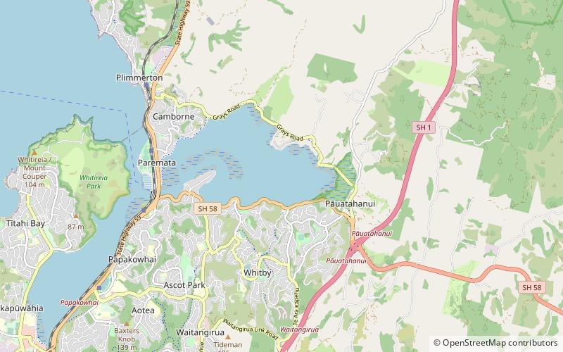
Map
Facts and practical information
The Puketiro Wind Farm was a renewable energy project proposed for land owned by the Greater Wellington Regional Council in the Puketiro Forest near Pauatahanui, north of Wellington, New Zealand. However, the project did not subsequently proceed. ()
Coordinates: 41°5'60"S, 174°53'60"E
Address
Porirua
ContactAdd
Social media
Add
Day trips
Puketiro Wind Farm – popular in the area (distance from the attraction)
Nearby attractions include: Te Rauparaha Arena, Pataka Art + Museum, Royal New Zealand Police College, Aotea Lagoon.
Frequently Asked Questions (FAQ)
How to get to Puketiro Wind Farm by public transport?
The nearest stations to Puketiro Wind Farm:
Bus
Bus
- Whitby - The Crowsnest • Lines: 230 (14 min walk)
- Joseph Banks Drive • Lines: 236 (17 min walk)
