Rabbit Island
Map
Map

Facts and practical information
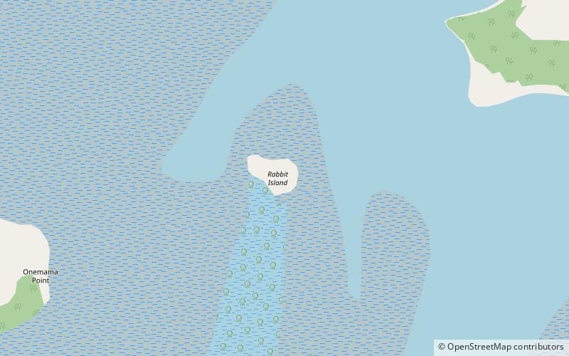
Moturoa / Rabbit Island is a small island that lies across the southernmost part of Tasman Bay / Te Tai-o-Aorere, on the northern coast of New Zealand's South Island. The long narrow island runs east–west for 8 kilometres, and covers 15 km2. ()
Area: 5.79 mi²Coordinates: 35°47'20"S, 174°20'53"E
Location
Northland
ContactAdd
Social media
Add
Day trips
Rabbit Island – popular in the area (distance from the attraction)
Nearby attractions include: Whangarei Steam and Model Railway Club, Mair Park, Whangarei Observatory, Kiwi North.

