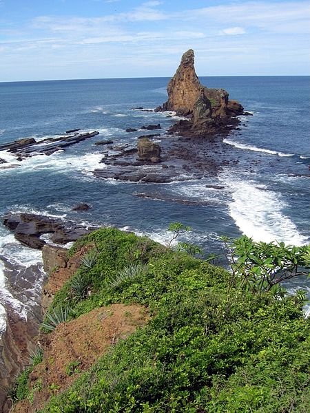
Rancho Majagual

Gallery (2)
Map
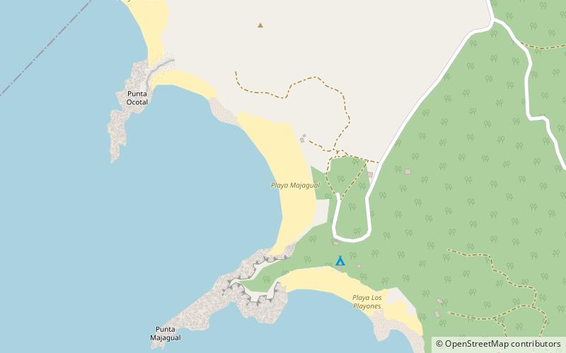
Map
Gallery
Facts and practical information
Rancho Majagual (address: Playa Majagual) is a place located in Nicaragua and belongs to the category of beach.
It is situated at an altitude of 3 feet, and its geographical coordinates are 11°18'1"N latitude and 85°54'59"W longitude.
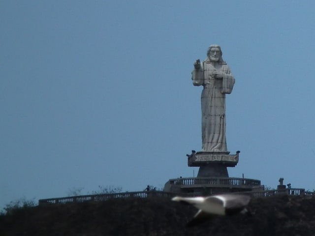
Among other places and attractions worth visiting in the area are: Villas Playa Maderas (beach, 19 min walk), Christ of the MercySan Juan del Sur (view point, 90 min walk).
Coordinates: 11°18'1"N, 85°54'59"W
Day trips