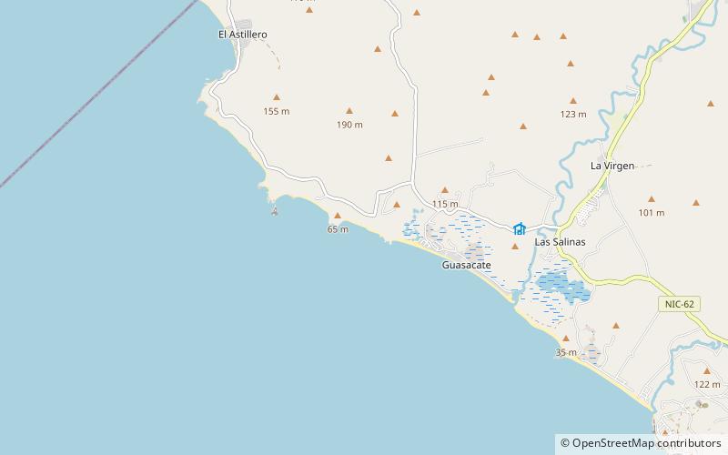
Playa Guasacate, Popoyo
Map
Facts and practical information
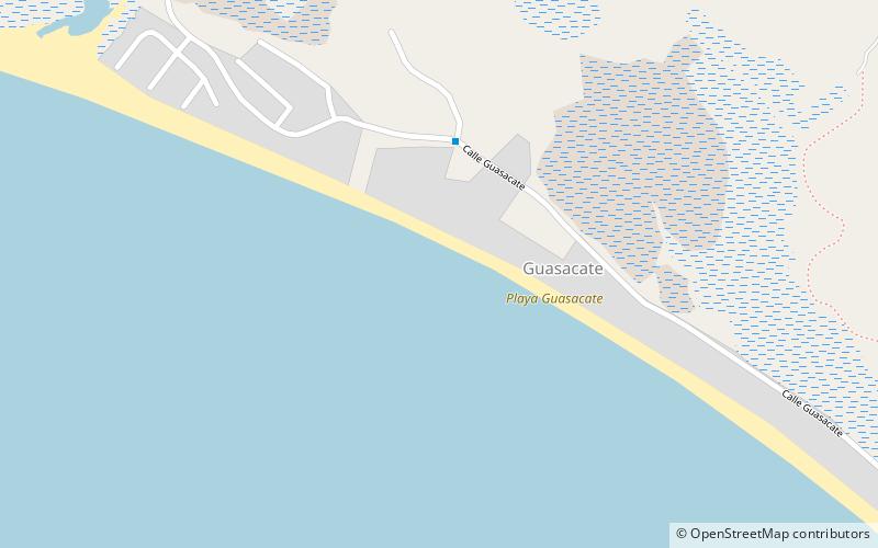
Playa Guasacate is a place located in Popoyo (Rivas department) and belongs to the category of beach.
It is situated at an altitude of 0 feet, and its geographical coordinates are 11°28'10"N latitude and 86°7'27"W longitude.
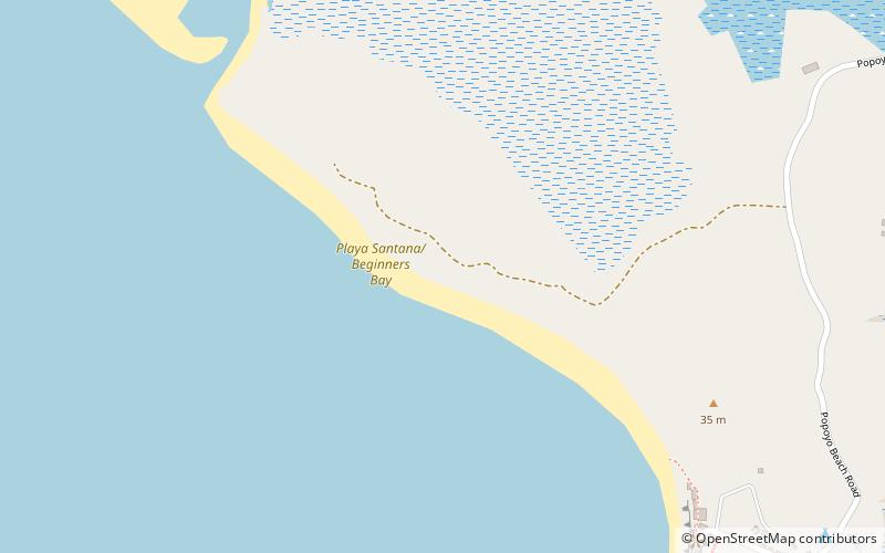
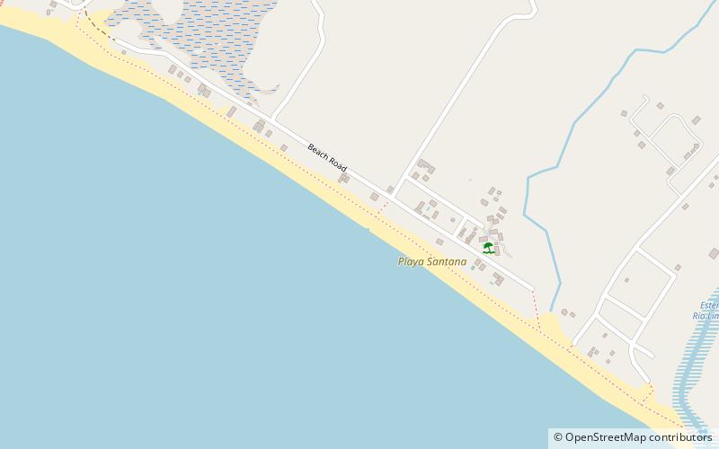
Among other places and attractions worth visiting in the area are: Playa San Martín (beach, 32 min walk), Playa Santana (beach, 34 min walk), Playa Santana (beach, 64 min walk).
Coordinates: 11°28'10"N, 86°7'27"W
Address
Popoyo
ContactAdd
Social media
Add
Day trips