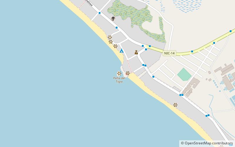
Peña del Tigre, Poneloya
Map
Facts and practical information
Peña del Tigre is a place located in Poneloya (León department) and belongs to the category of memorial.
It is situated at an altitude of 13 feet, and its geographical coordinates are 12°22'13"N latitude and 87°2'12"W longitude.
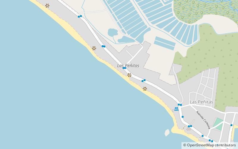
Among other places and attractions worth visiting in the area are: Playa Las Peñitas (beach, 21 min walk).
Coordinates: 12°22'13"N, 87°2'12"W
Address
Poneloya
ContactAdd
Social media
Add
Day trips
Peña del Tigre – popular in the area (distance from the attraction)
Nearby attractions include: Playa Las Peñitas.