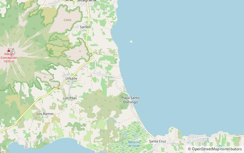
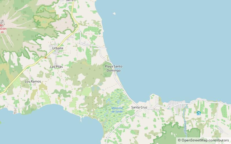
Playa Santo Domingo, Ometepe
Map
Facts and practical information
Playa Santo Domingo (address: Isla de Ometepe) is a place located in Ometepe (Lago Nicaragua water body) and belongs to the category of beach.
It is situated at an altitude of 128 feet, and its geographical coordinates are 11°30'35"N latitude and 85°33'11"W longitude.
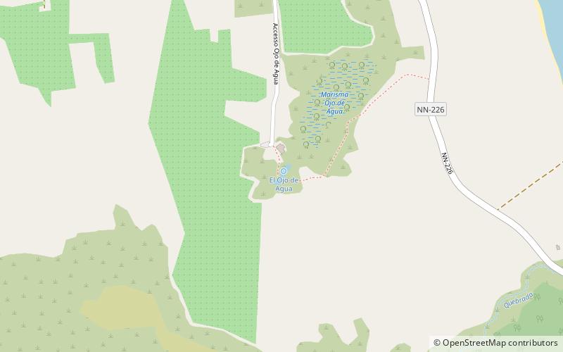
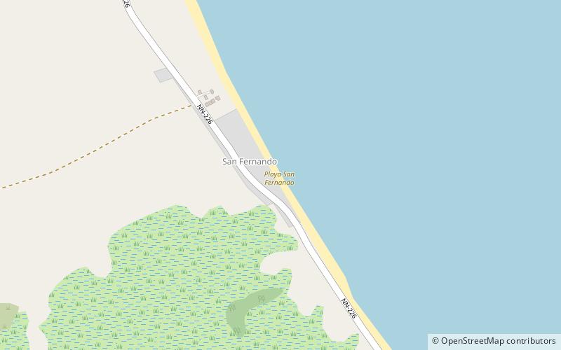
Among other places and attractions worth visiting in the area are: Playa San Fernando (beach, 18 min walk), Playa Primavera (beach, 29 min walk), El Ojo de Agua (fountain, 29 min walk).
Coordinates: 11°30'35"N, 85°33'11"W
Address
Isla de OmetepeOmetepe
ContactAdd
Social media
Add
Day trips