Cordillera de los Maribios
Map

Map

Facts and practical information
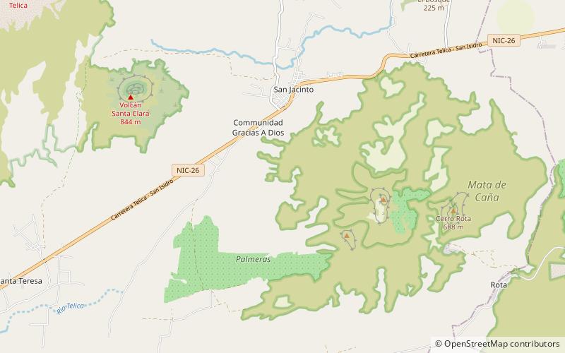
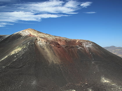
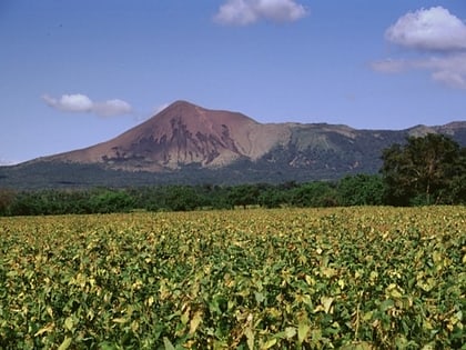
Cordillera de Maribios is a mountain range in León and Chinandega departments, western Nicaragua, at 12.56°N 86.78°W / 12.56; -86.78 and about 64.4 km long. It is a volcanic range comprised most notably by San Cristóbal 1745 m, Pilas 983 m, Telica 1060 m, Cerro Negro 450 m, and Momotombo 1258 m. ()
Location
León
ContactAdd
Social media
Add
Day trips
Cordillera de los Maribios – popular in the area (distance from the attraction)
Nearby attractions include: Cerro Negro, Telica Volcano, Rota Volcano.


