Moranbong-guyok, Pyongyang
Map
Map

Facts and practical information
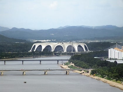
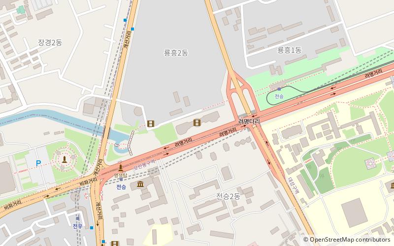
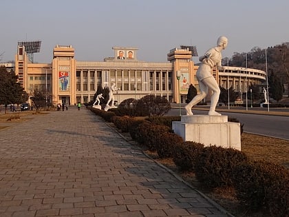
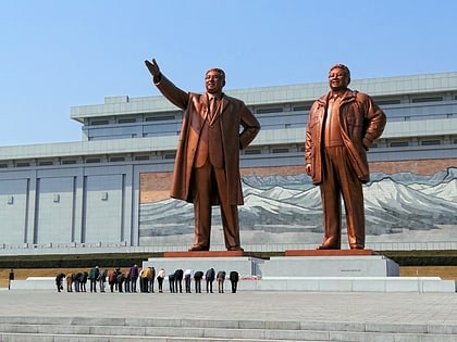
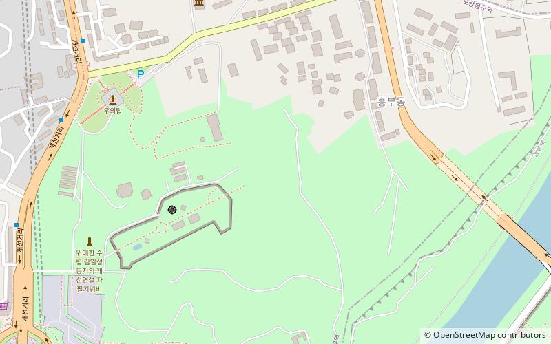
Moranbong-guyŏk, or the Moranbong District, is one of the 18 guyŏk which constitute the capital city of Pyongyang, North Korea. It is located north of Chung-guyok, the city's central district, and is bordered to the north by Sosong and Taesong-guyoks, to the east by the Taedong River, and the west by the Pothonggang Canal and Potonggang-guyok. It is named after Moran Hill located in the district's west area. It was designated a guyŏk in October 1960 by the Pyongyang City People's Committee. ()
Address
Pyongyang
ContactAdd
Social media
Add
Day trips
Moranbong-guyok – popular in the area (distance from the attraction)
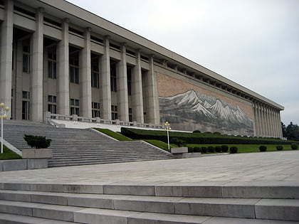
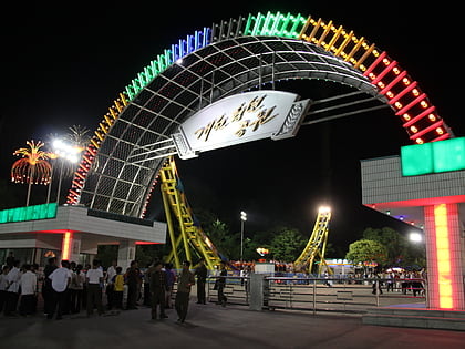
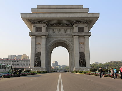
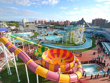
Nearby attractions include: Korean Revolution Museum, Kaeson Youth Park, Arch of Triumph, Munsu Water Park.
Frequently Asked Questions (FAQ)
Which popular attractions are close to Moranbong-guyok?
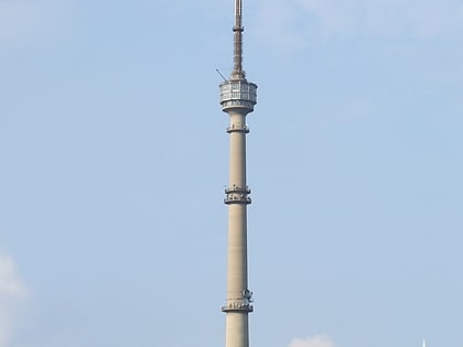
Nearby attractions include Pyongyang TV Tower, Pyongyang (4 min walk), Arch of Triumph, Pyongyang (14 min walk), Rŭngrado, Pyongyang (16 min walk), Moranbong, Pyongyang (17 min walk).
How to get to Moranbong-guyok by public transport?
The nearest stations to Moranbong-guyok:
Trolleybus
Metro
Train
Tram
Trolleybus
- Stop • Lines: 1 (16 min walk)
Metro
- Kaesŏn • Lines: 1 (15 min walk)
- Chonsung station • Lines: 2 (18 min walk)
Train
- Kaesŏn (15 min walk)
- Chonsung station (18 min walk)
Tram
- Chonsung (22 min walk)
- Stop • Lines: 2 (34 min walk)

